Listening and Learning
My process started with research — and listening. Before I laced up my shoes, I’d reach out to people who knew the area best. I asked locals where they liked to run, read posts from Michigan running communities, and scrolled through countless online forums. Sometimes people would message me their favorite routes; other times, I’d stumble onto something special while exploring on my own.

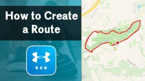
But if there’s one resource that deserves the most credit, it’s MapMyRun.com. That site was a lifesaver. It let me measure distances, study elevation, and plan routes on a live map. Whether I was sketching out a loop through farmland or tracing a shoreline path, I could fine-tune every mile before I even tied my shoes.
Choosing the Right Route
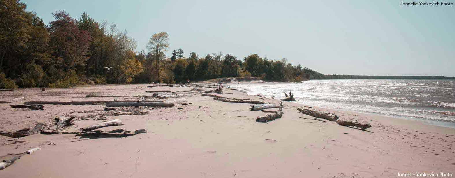
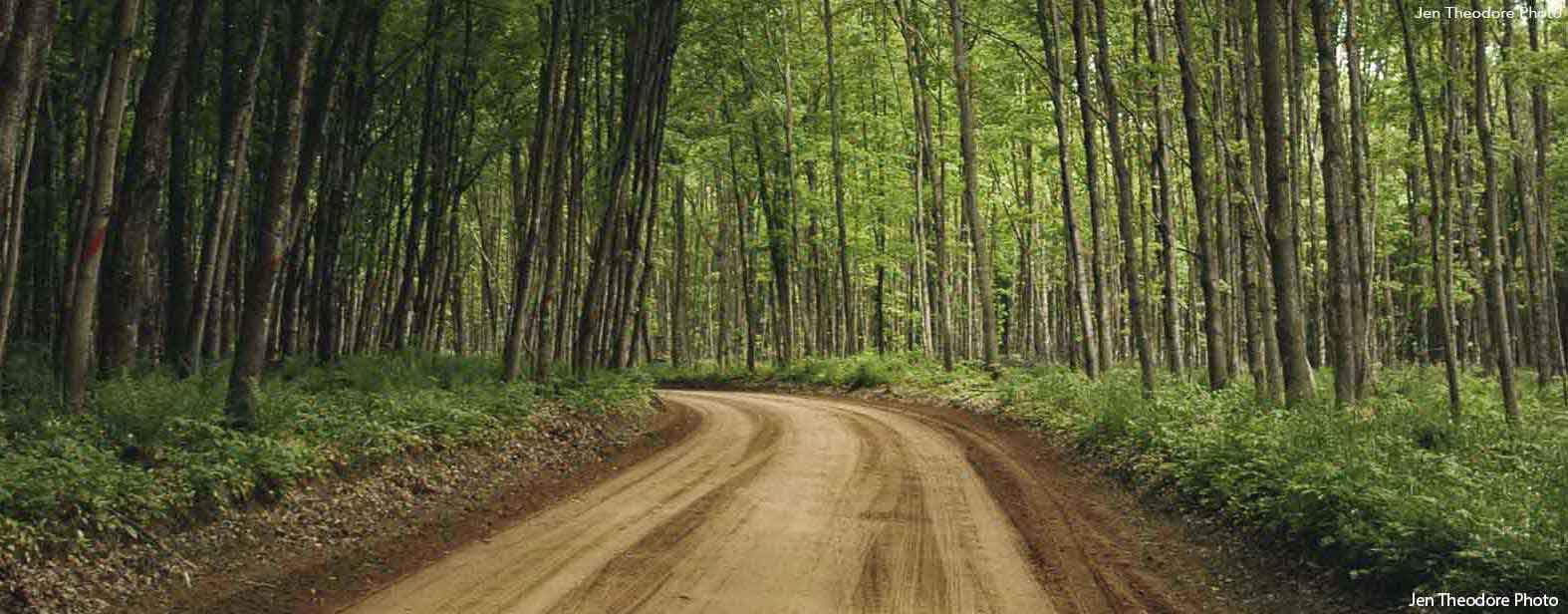
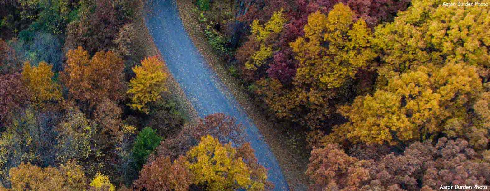
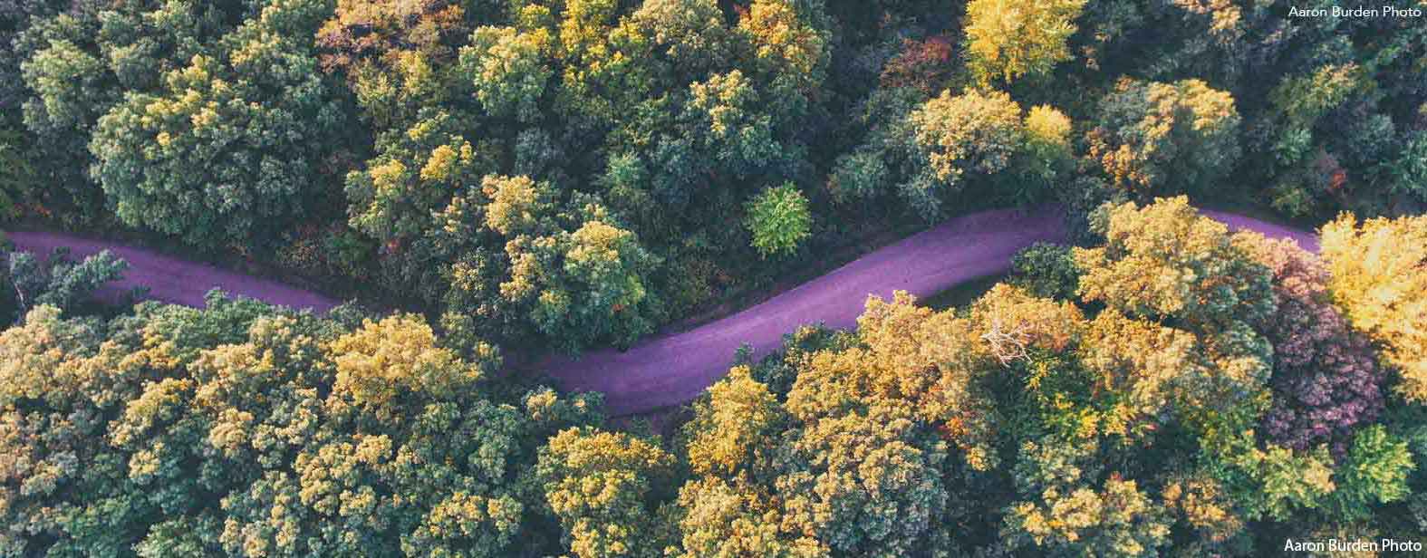
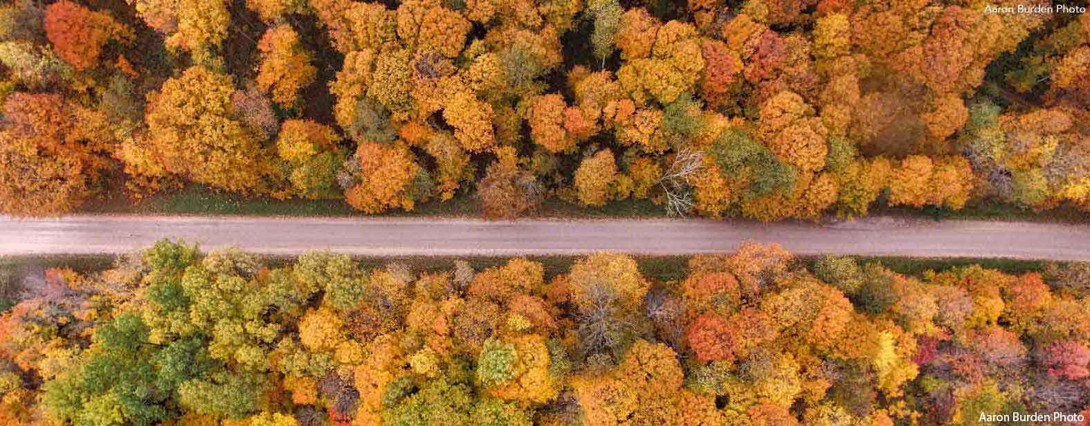
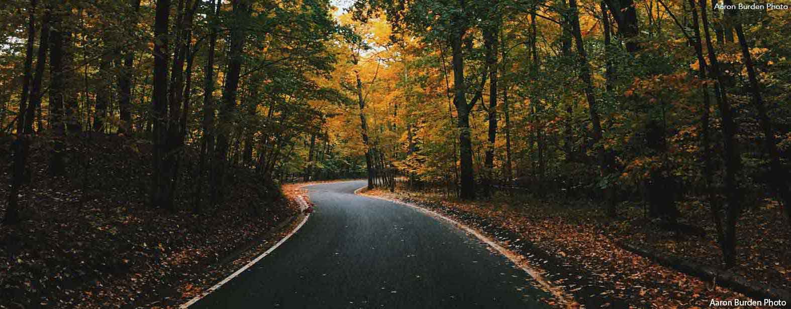
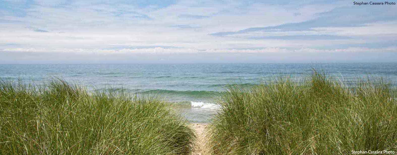
My criteria for each run changed from county to county. Some routes followed scenic trails or quiet backroads, while others wound through cities, small towns, or along bike paths. I ran through forests, farmlands, and urban neighborhoods — sometimes dodging traffic, sometimes completely alone.
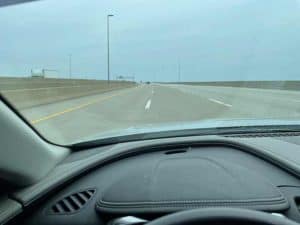
Most of my runs were on dirt or paved county roads, and though it might sound risky, Michigan drivers impressed me. They’d slow down, wave, or move over to give me space. It’s something I’ll never forget.
Whenever possible, I avoided “out-and-backs.” I wanted loops — routes that revealed something new with every turn. I wasn’t just running 5Ks; I was exploring.
Dealing with Michigan Weather
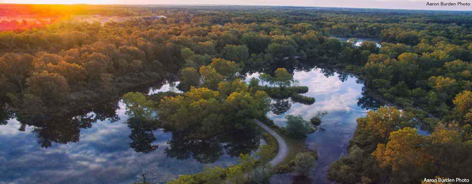
Michigan weather doesn’t give anyone a break. I ran in just about every condition imaginable — sweltering summer heat, autumn rain, winter snow, even thunderstorms. There were peaceful golden evenings and bitterly cold mornings. I ran a county in every month of the year, including some of the coldest days of winter.
Every season had its own rhythm, and every run its own challenge. Sometimes the weather made things tough — but it also made each run memorable in its own way.
Timing the Runs
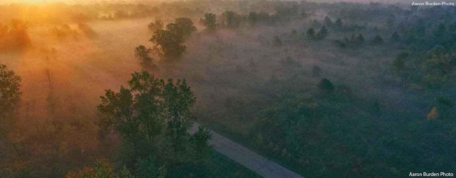
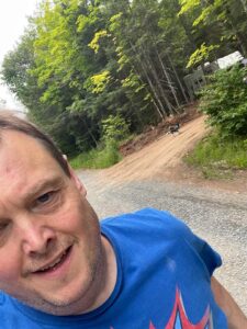
Most of my runs happened after work, usually in the early evening. Other times, I’d start at sunrise, especially if I had a long drive ahead. On a few unforgettable occasions, I ran multiple counties back-to-back.
Once, I ran four counties within 24 hours — Monroe, Lenawee, Hillsdale, and Washtenaw — two at night and two the next morning. By the end, I was completely spent, but I was also proud. Those were the days when endurance and logistics mattered just as much as running itself.
Where I Stayed and Planned
Planning wasn’t just about the runs — it was about where to stay and how to recover. Some nights I camped under the stars; others I crashed in a motel or small-town hotel. Once in a while, I’d park at a truck stop just to grab a shower and rest before moving on.
I also tried to plan my runs around points of interest — a landmark, a lake, or even a diner I’d heard about. The goal wasn’t just to run in each county, but to experience it.
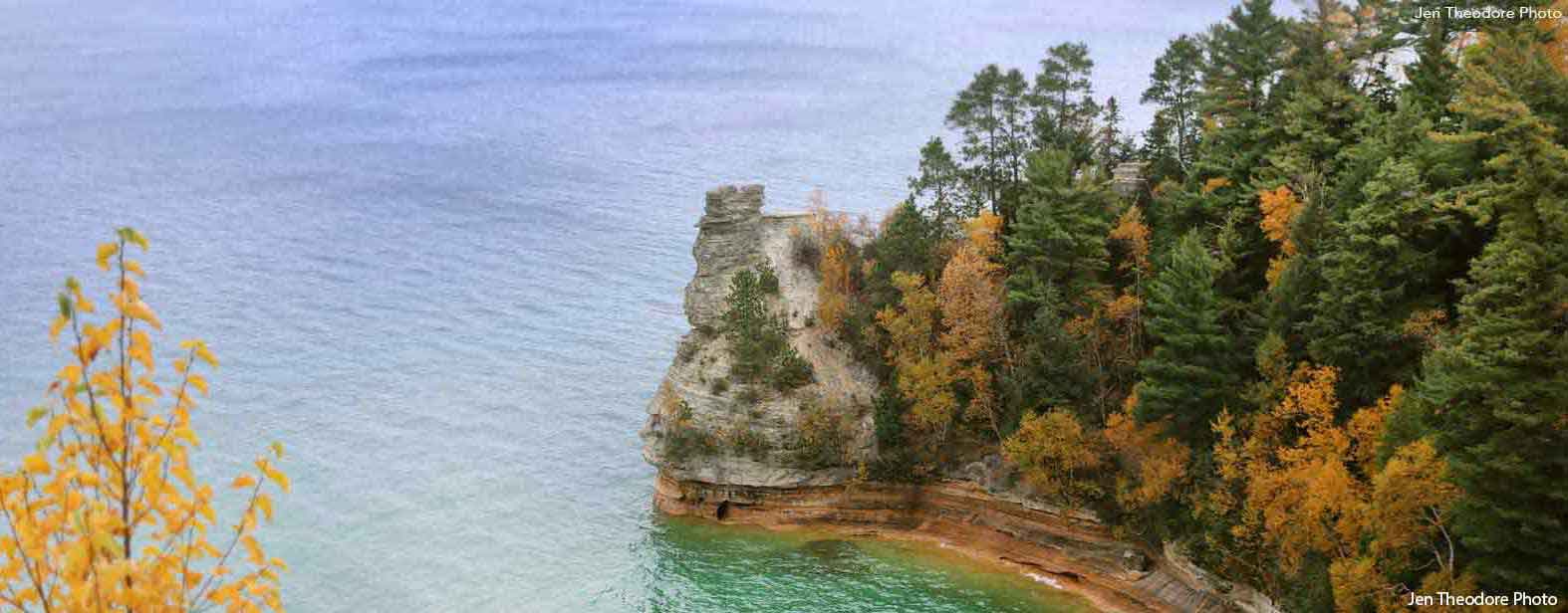
Memorable Sights and Encounters
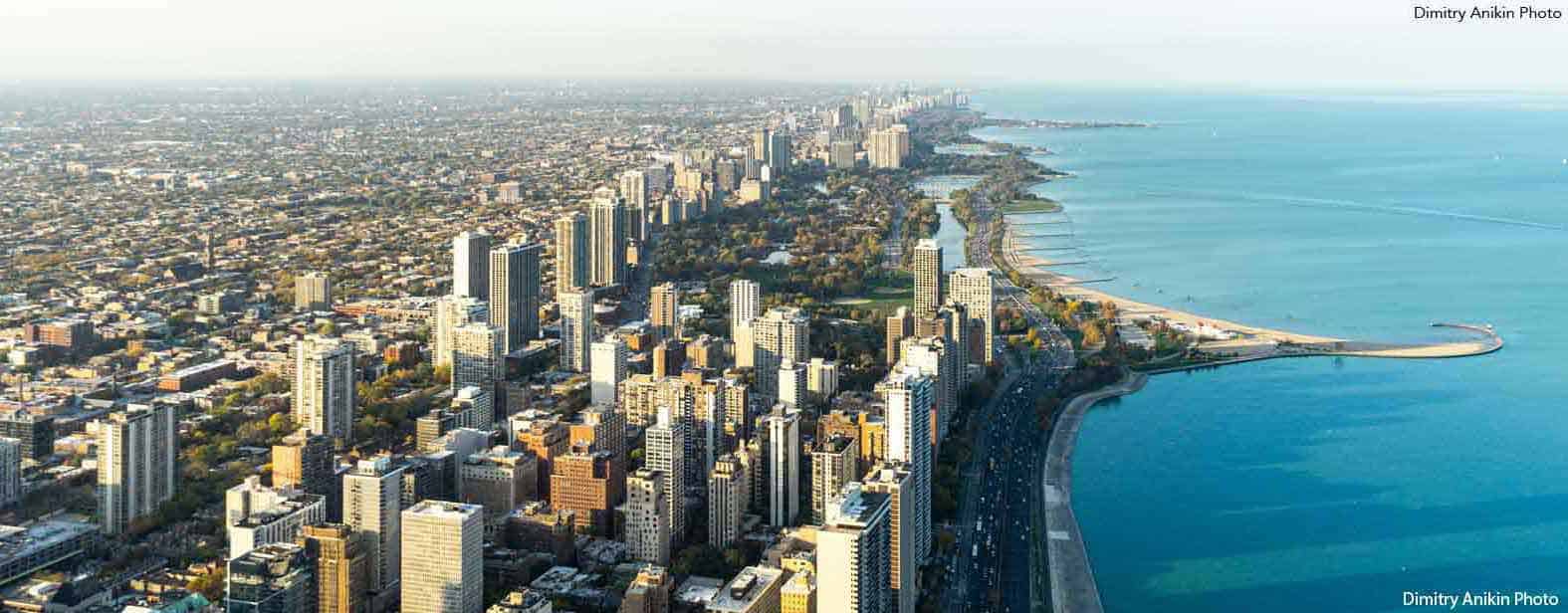
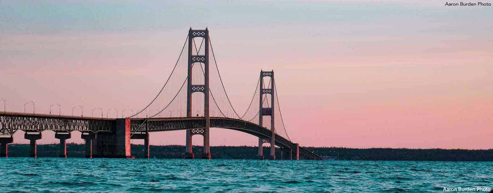
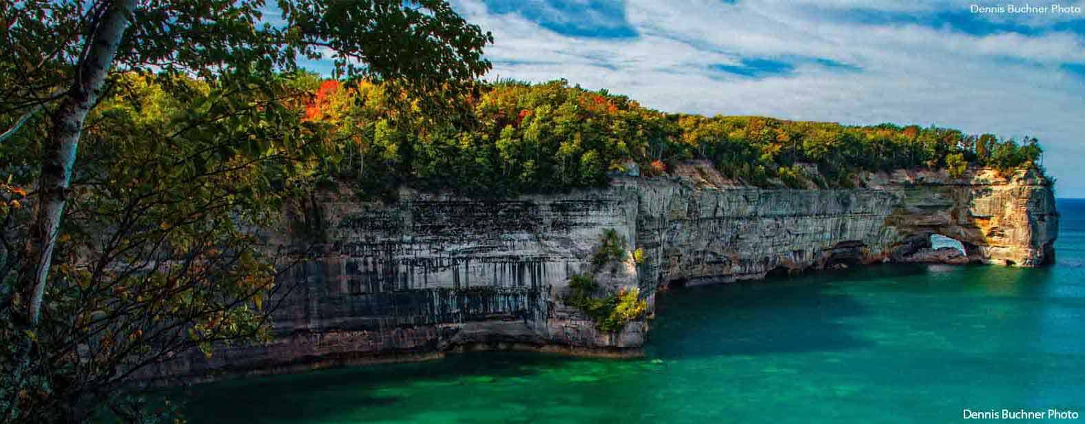
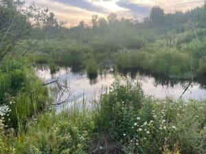
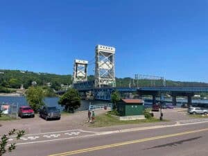
Running across all 83 counties gave me a view of Michigan that few people ever see. Wildlife was everywhere — deer, opossums, chipmunks, geese, ducks, and squirrels often shared the trail. I passed landmarks like the Mackinac Bridge, the State Capitol, and the skylines of Michigan’s biggest cities.
But what stayed with me most weren’t the famous places — it was the barns. Seeing those red barns standing strong against the fields reminded me of the hard work and pride that define Michigan’s rural communities. They grounded me and reminded me why I loved this journey so much.
The Tech Behind the Runs
Technology played a big part in keeping this project on track. I used MapMyRun to plan routes, Strava and my Apple Watch to track them, and Google Maps to navigate. Between these tools and advice from local forums, I built a pretty tight system.
After each run, I posted updates on RunMI5K.com and shared my progress on LinkedIn, Instagram, Facebook, Twitter, and Reddit. Keeping a digital record didn’t just keep me accountable — it helped me share Michigan’s beauty with others and connect with runners from all over.
Helpful Tools for Runners
While MapMyRun.com was my go-to planning tool, there are several other great apps worth checking out for anyone planning their own runs:

Strava – Popular for mapping, tracking, and connecting with other runners
![]()
AllTrails – Excellent for discovering trail routes and checking elevation.
![]()
Komoot – Great for outdoor route planning with detailed surface information.
![]()
Garmin Connect – Ideal for those using Garmin watches and GPS devices.
![]()
Runkeeper – A simple, reliable app for tracking and planning routes
What I’d Do Differently
If I were to start over, I’d make a bigger effort to connect with locals before each run. Posting in community subreddits, asking for trail tips, or reaching out to local running clubs would’ve made the experience even richer. The feedback and enthusiasm I’ve received since posting my story has been incredible — and it reminded me how many people share this same passion for running and exploration.
Other than that, I wouldn’t change a thing. The project went smoother than I ever imagined. It was challenging, exhausting, and deeply rewarding.
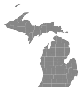
Run Every County in Michigan – At least visit all of them!
I don’t know if everyone should run, bike, or paddle through all 83 Michigan counties — but I do think everyone should visit them. Each county has something worth discovering if you give it time.
For me, this challenge wasn’t just about fitness or checking boxes. It was about connection — to the land, the people, and the state I call home.