Detroit Detroit Detroit Detroit Detroit Detroit Detroit Detroit Detroit Detroit Detroit Detroit Detroit Detroit

Marquette

Marquette County

Marquette County Run

County Complete
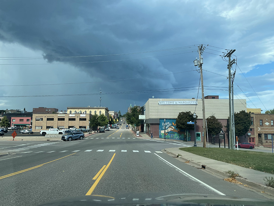
Just arrived in Marquette, and there was a huge dark cloud above the city (I think this was looking north, but I could be wrong). I had just completed the Baraga County run at 1 PM, and now it’s around 2 PM. I found a parking lot to catch some sleep and planned to wake up around 6 PM to start my run in Marquette County.
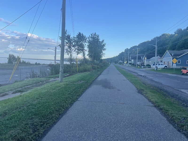
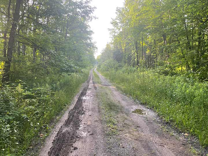
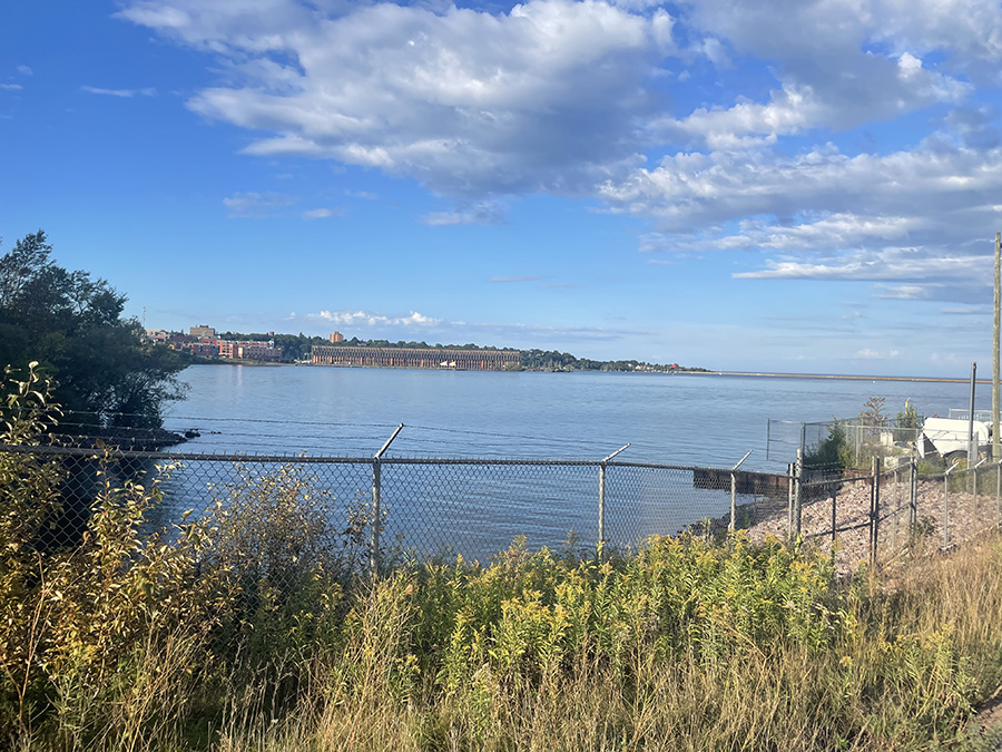
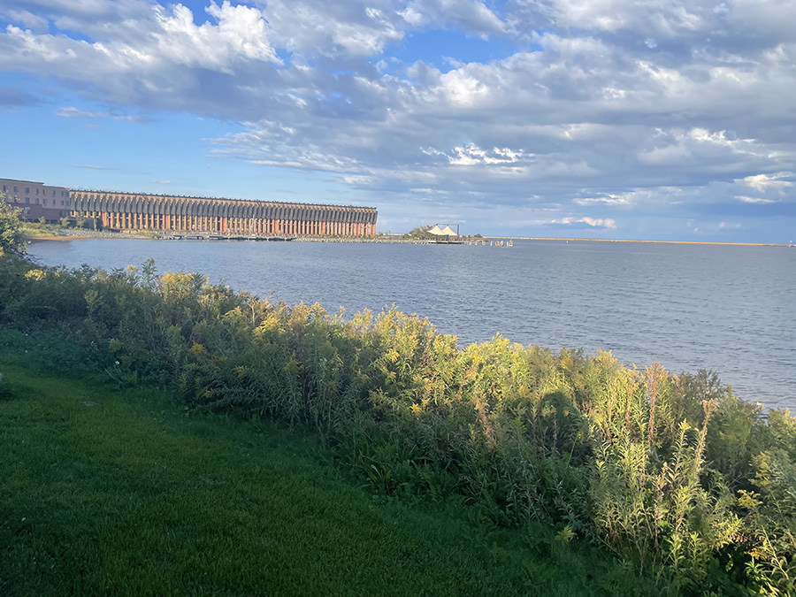
I drove around for a while until I had a new plan to tackle my run. What I initially thought would be a great route turned out to be quite hilly! So, I had to rethink my approach, especially since this would be the ninth mile I’ve run in less than 24 hours. Gotta pace myself! The large gray thing in the background is the Ore Dock (another photo below of the Ore Dock close up)

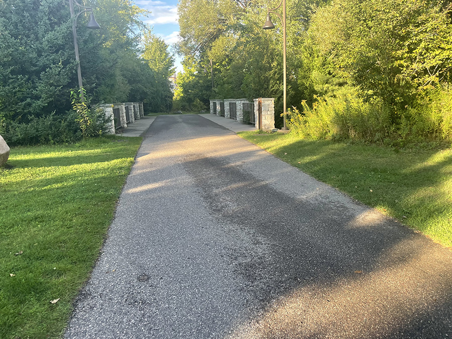
I found a great path (N Country National Scenic Trail) by the bay! Even though you couldn’t see the water from where I was running, I could tell it was close. The atmosphere was lovely, and it felt refreshing to be out there, even if the view was a bit obstructed. Perfect for keeping the momentum going.

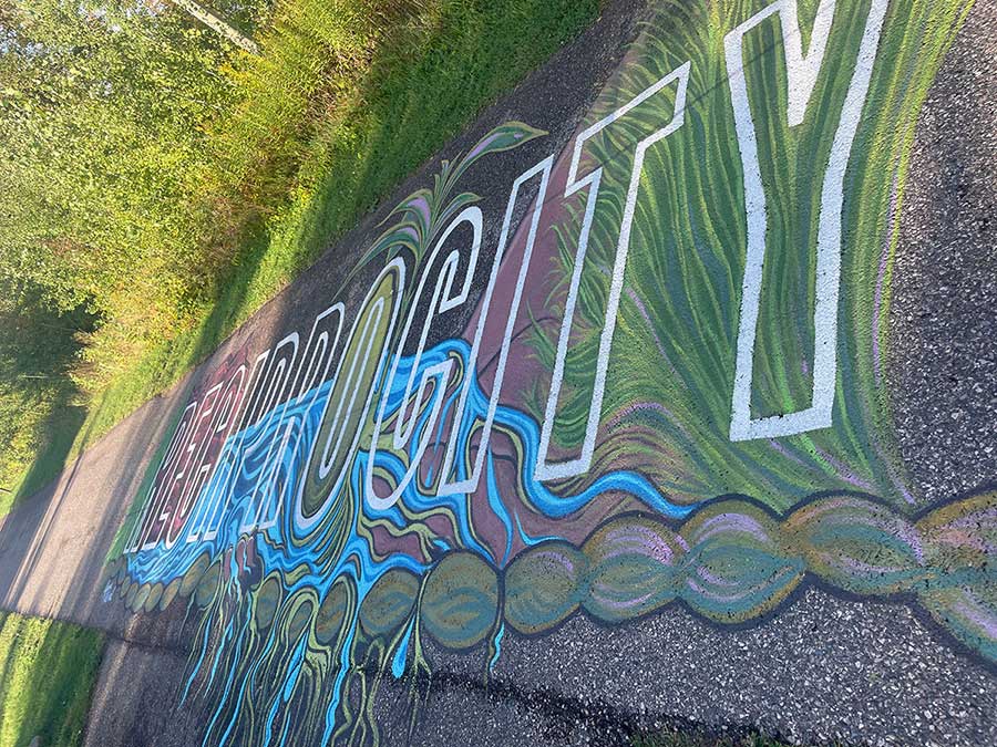
This word was colorfully illustrated on the run path of N. Country National Scenic Trail!

rec·i·proc·i·ty

/ˌresəˈpräsədē/
noun
  1. the practice of exchanging things with others for mutual benefit, especially privileges granted by one country or organization to another.
  2. Yeah, I had to look it up…

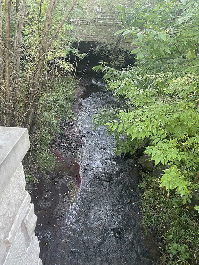
Whetstone Brook headding towards Harbor Basin…. or maybe Orianna Brook? But I think it’s Whetstone.

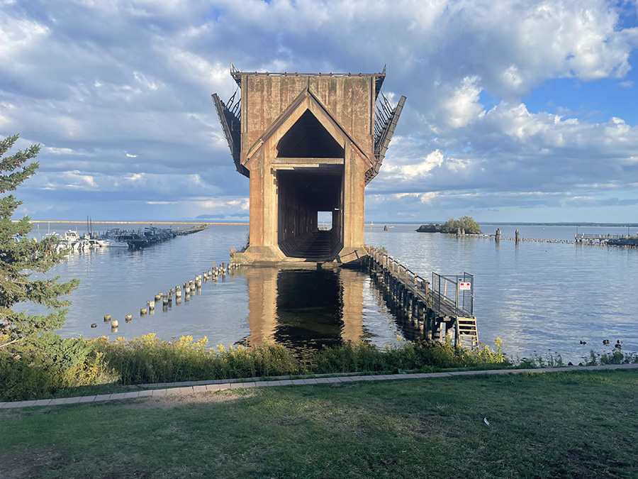
The pocket ore dock of the Lake Superior and Ishpeming Railroad in Marquette represents a historically significant engineering feat. It was the first such dock of its type constructed on the Upper Great Lakes and is the only operating ore-loading facility in Marquette’s harbors. Built in 1931 and closed in 1971 the year I was born.

As I pulled up to the view of the Ore Dock, I noticed two bikers on my left. I asked the gentleman if he knew what it was, and he replied, “I was hoping you would know!” I had no idea at the time, but later, a coworker (Heather H.)—who’s a huge Marquette fan—filled me in.

She explained that it was an ore dock. I did some research afterward: an ore dock is a large structure used for loading ore (typically from railway cars or ore jennies) onto ships. These ships then carry the ore to steelworks or transshipment points. Most notable ore docks were built near iron mines on the upper Great Lakes and served the lower Great Lakes. It was fascinating to learn about the history behind it!

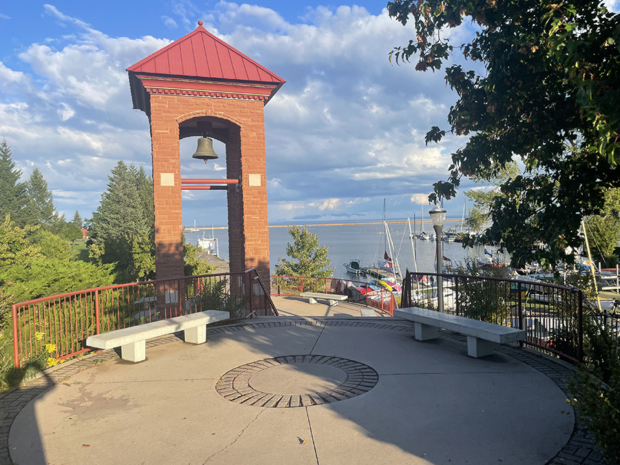
Another cool look at the bay (Lake Superior), slightly north of the Ore Dock.

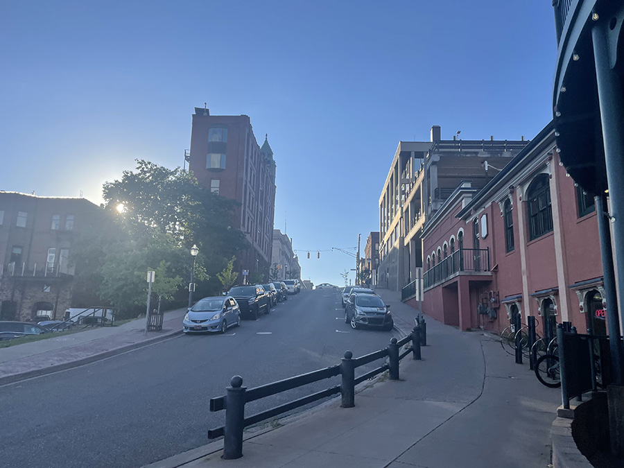
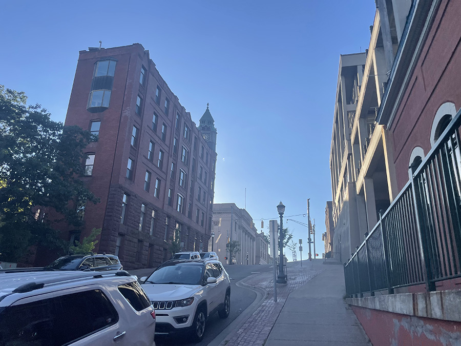
Heading west into the town of Marquette. Just one of the many hills in this county! I love how thin this building was on the left side of the road.

I love how dated this town is. The more I research it, the more I want to visit again.

What a perspective!

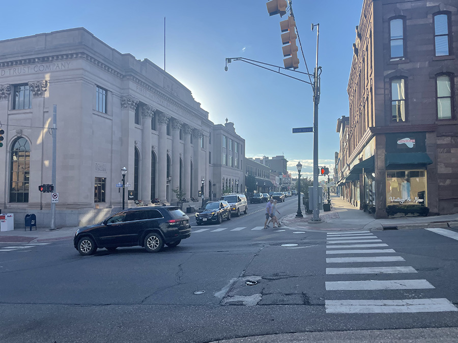
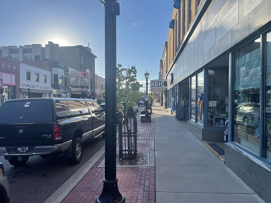
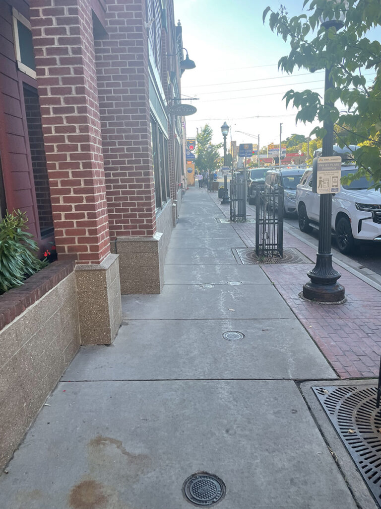
In downtown Marquette on Main Street, you’ll discover a charming mix of local shops, restaurants, and attractions that reflect the town’s unique character. The area is home to boutiques offering handmade goods, clothing, and local art, perfect for those looking to find something special. Dining options abound, ranging from casual eateries to fine dining, many featuring local cuisine and craft beer. The historic architecture adds to the charm, with beautifully preserved buildings showcasing the town’s rich history.

As you explore, you’ll find inviting parks and green spaces ideal for relaxing and soaking in the scenery. Cultural venues, such as the Marquette Regional History Center and local art galleries, highlight the area’s artistic talent and heritage. With access to walking paths and stunning waterfront views of Lake Superior, downtown Marquette is a vibrant area that encourages leisurely strolls, shopping, and enjoying a delicious meal. What a cool spot to run.

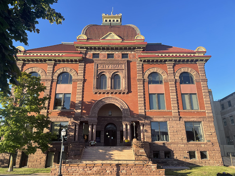
Here is the City Hall, built in the year 1896. This historic building features stunning architecture that showcases the town’s rich history and commitment to preserving its cultural heritage. The intricate details and design elements make it a notable landmark in downtown Marquette, reflecting the pride of the community.

As far north as this town is, it’s surprising how large it is, with a population of around 20,000 residents. Marquette serves as a regional hub, offering a vibrant mix of amenities and services that cater to both locals and visitors. Comparable in size to towns in Michigan like Traverse City and Petoskey, Marquette boasts a unique blend of natural beauty and community spirit.

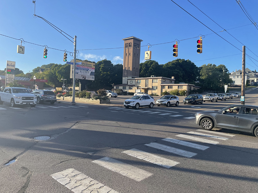
I was surprised by the traffic as I ran through Marquette. The lively atmosphere added to the experience, making each mile feel vibrant and engaging. The combination of bustling streets and scenic views created a unique backdrop for my run. It was such a cool experience to navigate through this dynamic town!

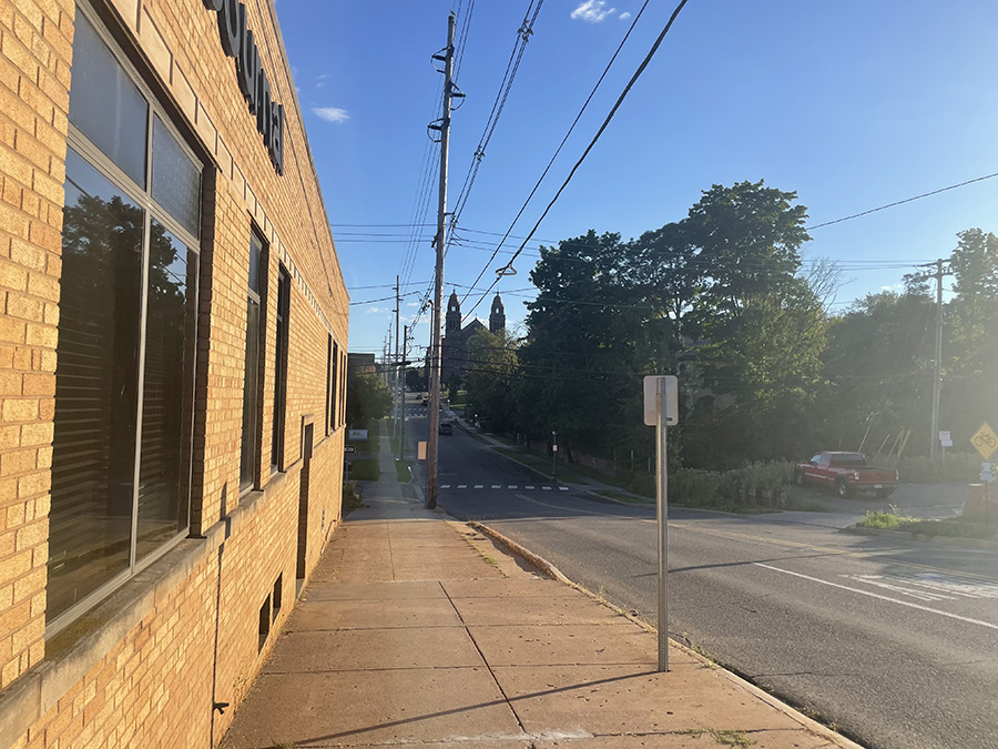
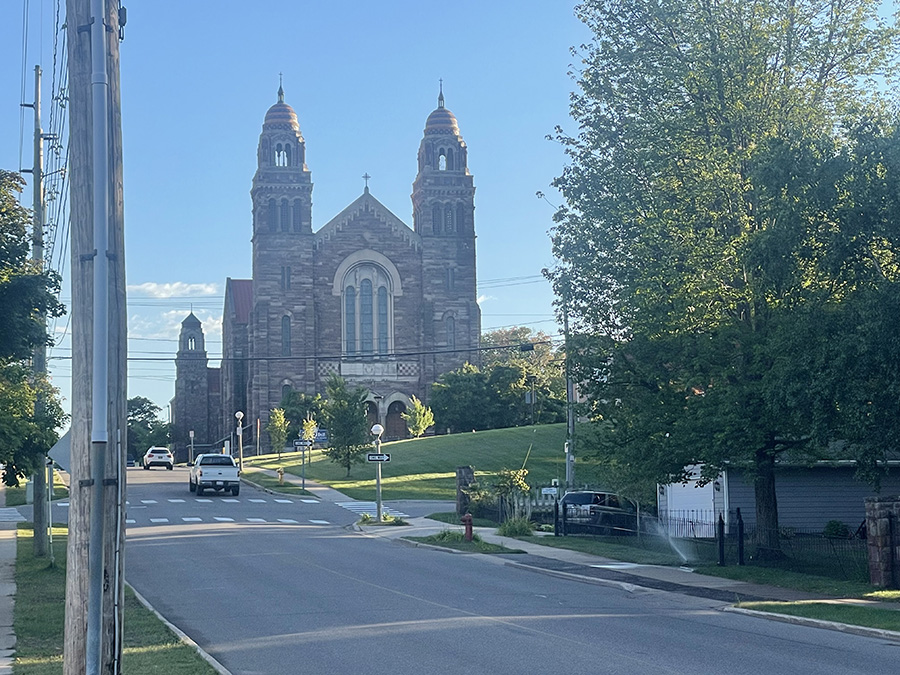
Saint Peter Cathedral, in the distance.

Saint Peter Cathedral, the mother church of the Diocese of Marquette. Listed on the National Register of Historic Places in 2012, construction began in 1864 with Venerable Bishop Frederic Baraga laying the cornerstone. 

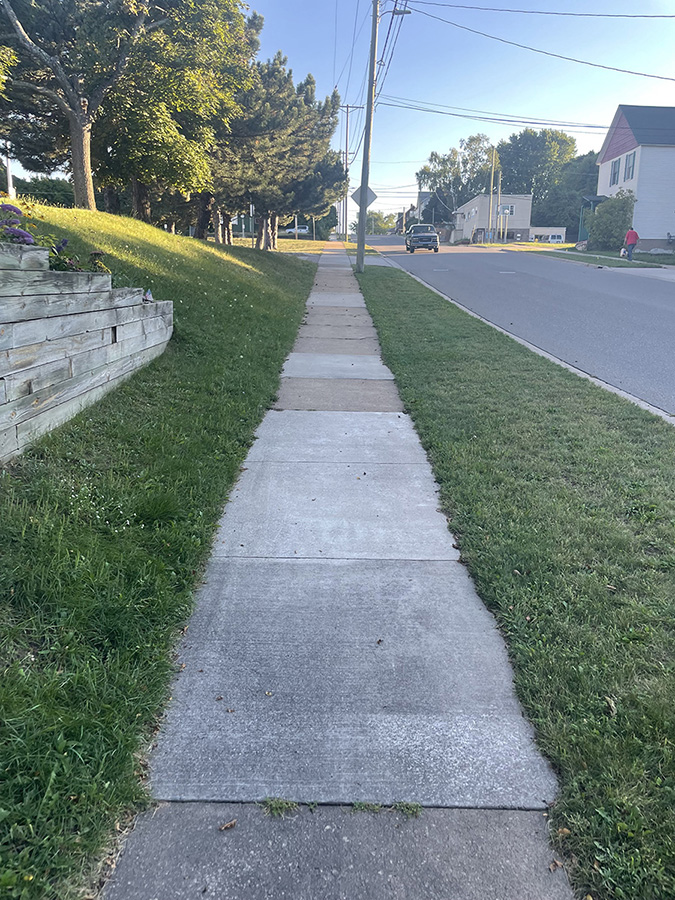
As I slowly made my way back to the start of my run on the south side of town, I couldn’t help but appreciate the charm of Marquette and how similar it was to my hometown of Traverse City.

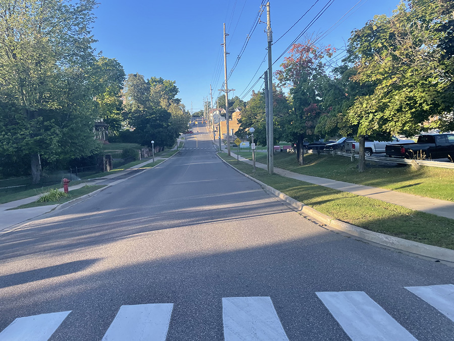
As I ran through this town, I was either climbing up or racing down hills at every turn. The terrain kept me on my toes, adding a challenge to my run. Each ascent brought a rewarding view, while the descents felt like a rush, making the experience exhilarating and dynamic.

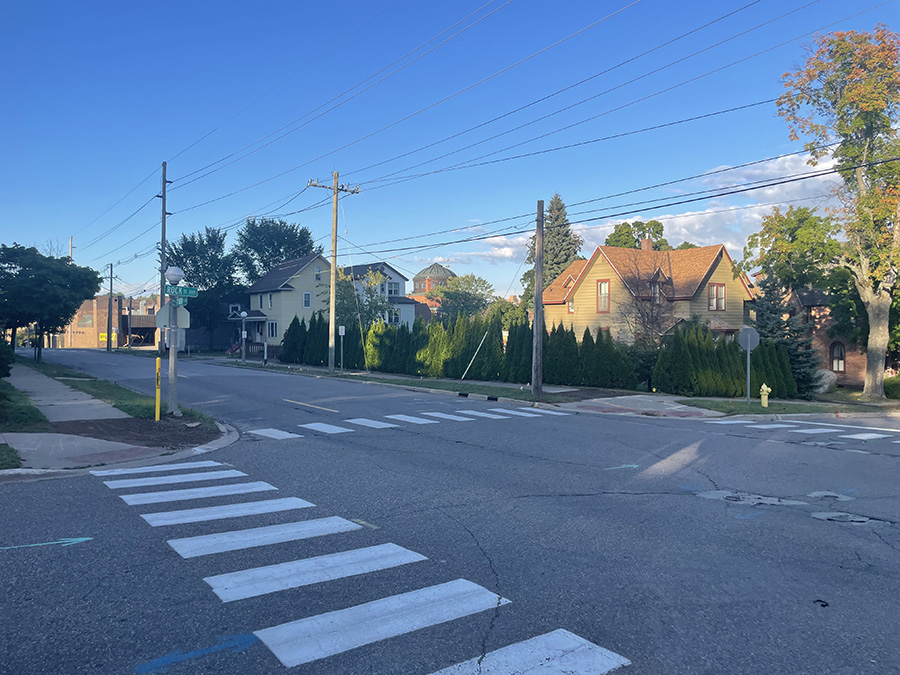
The housing on the south side of town has a charming, historic vibe, with a mix of styles that reflect Marquette’s rich architectural heritage. 

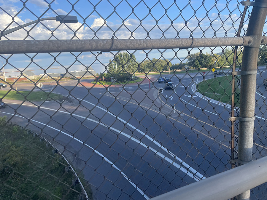
As I neared the roundabout from the street above, I observed the steady flow of traffic and pedestrians navigating the area. The surrounding greenery added a nice touch, making it a welcoming spot. It felt great to be almost back at the start of my run, reflecting on the journey I’d just completed in Marquette!

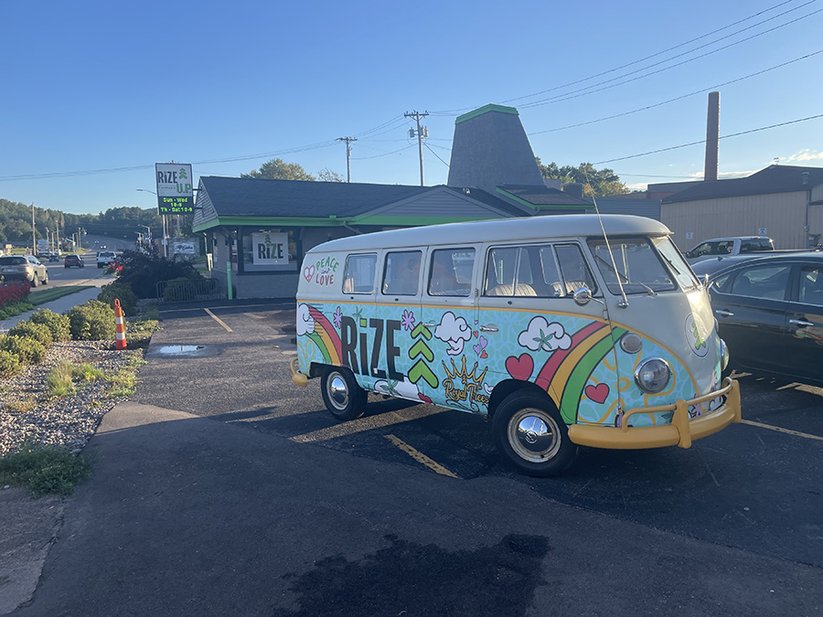
Loved seeing the RIZE VW Bus!

Once I arrived back at the start of my run, I realized I was about 0.4 miles short of the 5K. To make up the distance, I ran an extra 0.2 miles past my car and then returned. It felt great to complete the run and hit that goal! What a great place cant wait to get back, I was supposed to run this with my nephew who lives up here and super sorry that I was unable to. I hope to one day to correct this wrong.

I was also planning on spending time with Tonya and Tracy Strong – their family lives up here! I haven’t seen either since 1989 the year my wife and I graduated high school with Tonya (Knudsen), and I worked with her  and her husband Tracy Strong (while in high school) at Crystal Mountain. We had planned to meet up during Memorial weekend, but I had car issues. That postponed the trip until the week of Sept 19th. Unfortunately, the Strongs had prior family commitments. Hoping to return someday soon, maybe next summer for my Keweenaw Run!

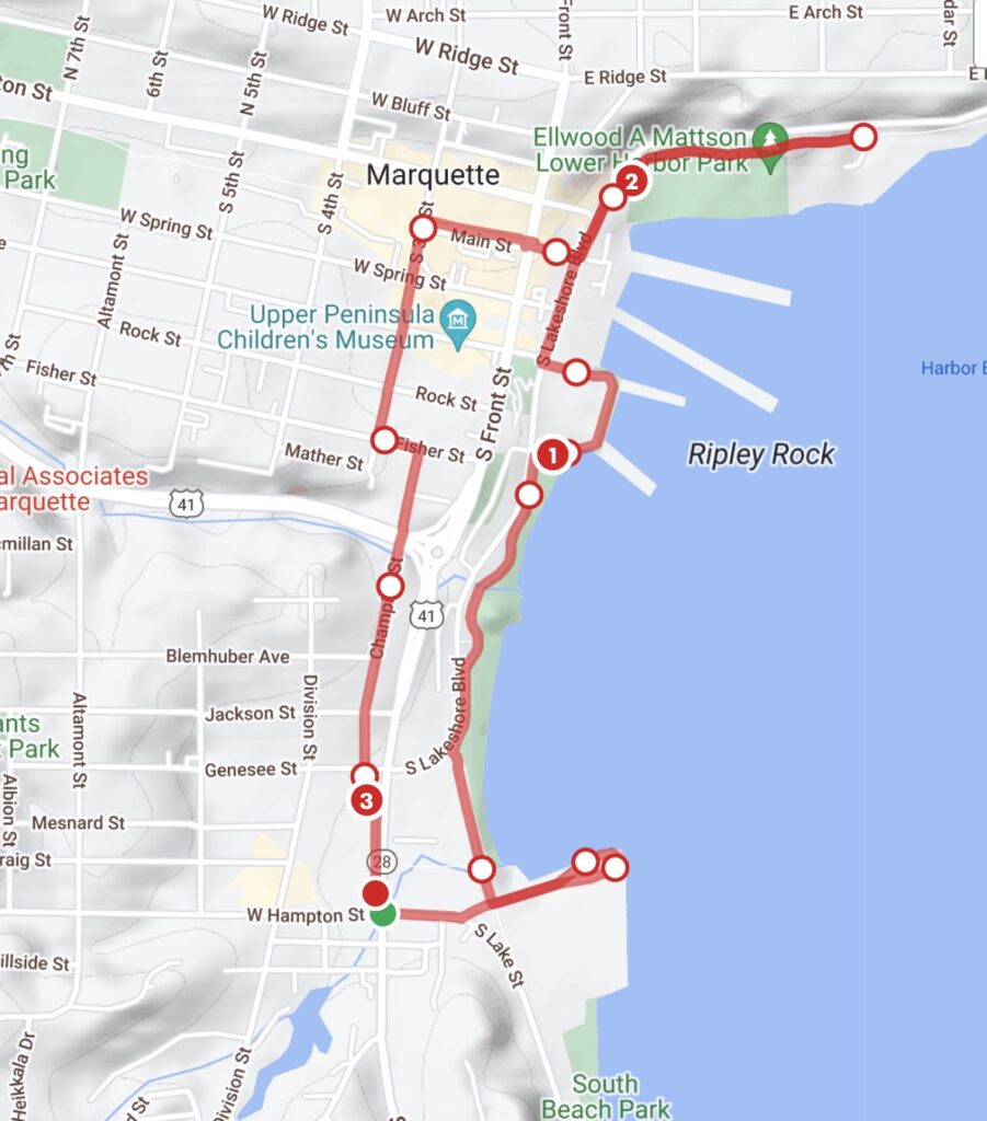
Great Design Plan to run the county for this website

This was the plan I had put together the night before this run. Not exactly what I did.

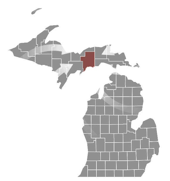
Marquette County

Champion Chocolay Ely Ewing Forsyth Humboldt Ishpeming Marquette Michigamme Negaunee Powell Republic Richmond Sands Skandia Tilden Turin Wells West Branch
Any place in Bold and Red are townships / towns / cities I’ve run a 5k for the county run (or the closest city to my county run) Any place in Bold and Blue are townships / towns / cities I’ve run anytime in the past. Any place in Bold and Green are townships / towns / cities I’ve done website / hosting / design work – best website builder for small business – WordPress design hosting and search engine optimization. I’m a small business website builder – contact me to get a website that works! If no Green color is on this page, please talk with me (Click Here). I’ll be encouraged to change one to Green!

Baraga

Baraga County

Baraga County Run

County Complete

I ran Alger County yesterday and had a great night’s stay at the KOA in Wetmore. I woke up bright and early to head toward Baraga County today to mark this one off my list. A few weeks ago, when I was running in other western Michigan counties (Houghton, Ontonagon, Gogebic and Iron, I stayed at Baraga State Park—one night with my parents in their camper and the next couple of nights solo in a tent. But here I am again, heading west to knock another county down! Can’t wait.

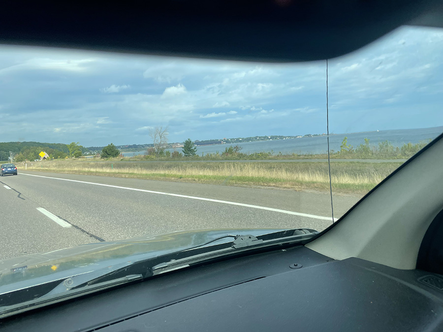
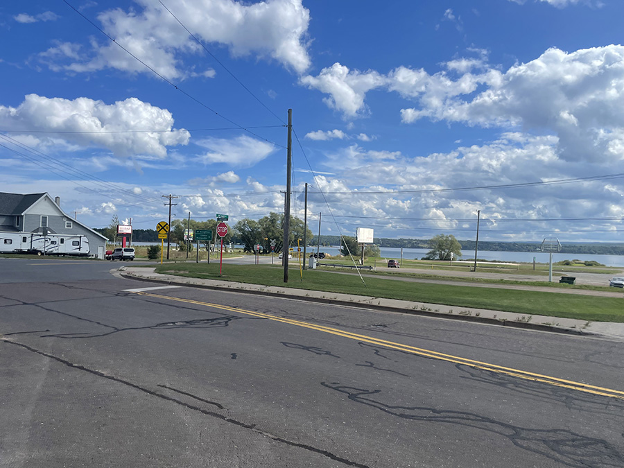
I’m not 100% certain, but I believe this is Huron Bay to the east of Keweenaw Bay. The time on the photo makes me think this was during the drive to Baraga, but I’m not completely sure.

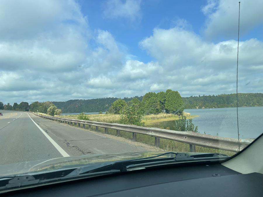
I’m fairly sure this is the base of Keweenaw Bay, looking toward Baraga. What a long drive from Alger County! I will return to my campsite at the Wetmore KOA later tonight after I complete both Baraga County and Marquette County.

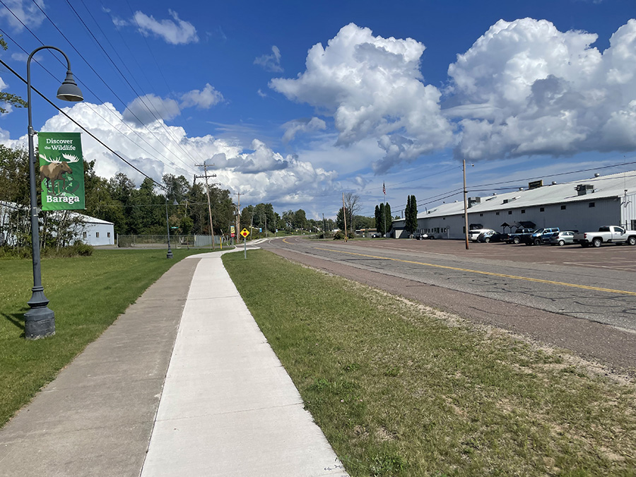
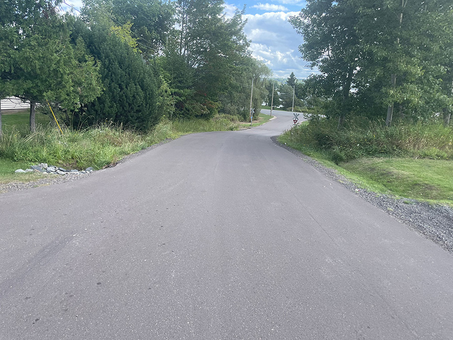
Starting on South Superior Ave., just north of the state campground where I stayed a few weeks ago. I started heading north after a very long drive. My legs are tight from the trip. A mom and her child on bikes were pedaling along with my running. Very cool to have company.

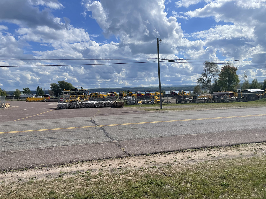
A business toward the bay (east) was a cool sight I missed on my last few visits. This business had many heavy-duty pieces of equipment: loaders, tractors, and all kinds of yellow gear.

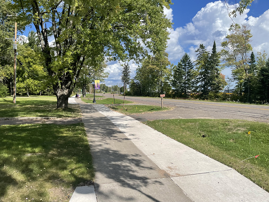
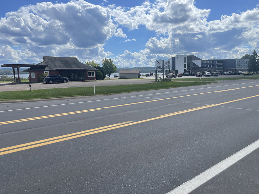
There were a couple of businesses on each side of S. Superior Rd. It was interesting that the sidewalk looked thin at first but later expanded to a very comfortable width for two to four people walking side by side.
 

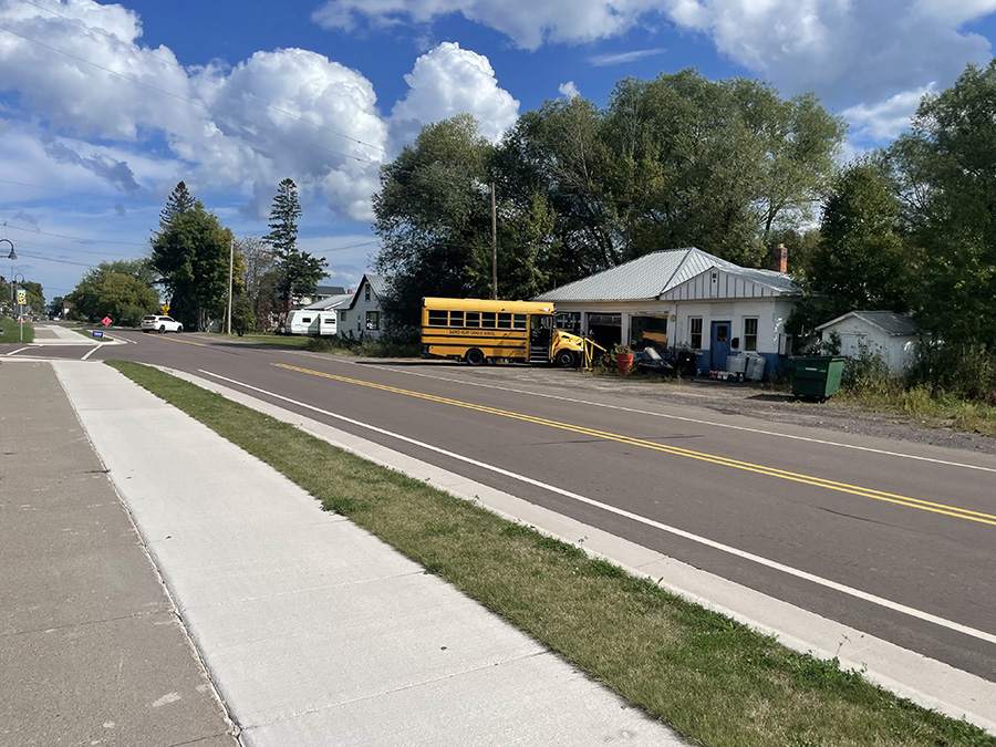
Another small business had a school bus that looked like it needed mechanical attention. It was a pretty hot day, and I was shocked because Baraga always seemed much cooler on my previous visits. One of those visits, about 10 years ago, offered the warmest swim I’ve ever taken in Lake Superior. The heat that day reminded me of that experience.

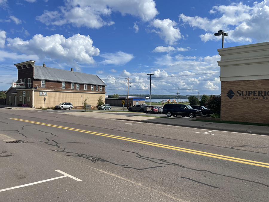
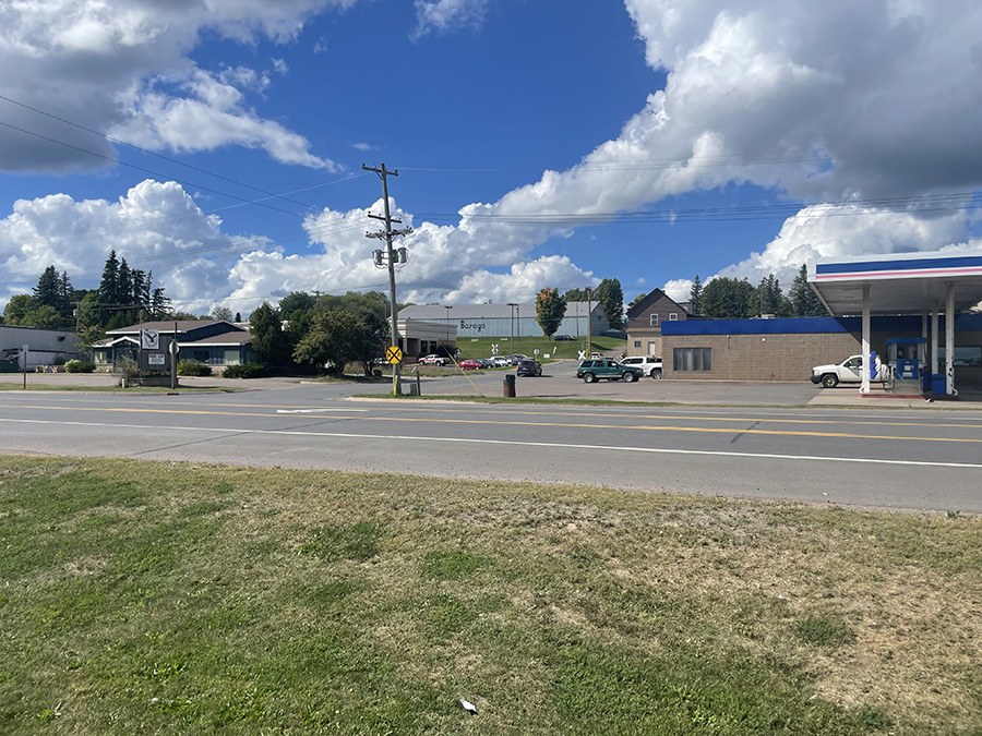
Superior National Bank and Wilkinson’s (maybe a hardware store? Maybe a fishing store?)—what a great start for a run! I’m running a little slow because I’m doing three 5Ks in less than 24 hours.

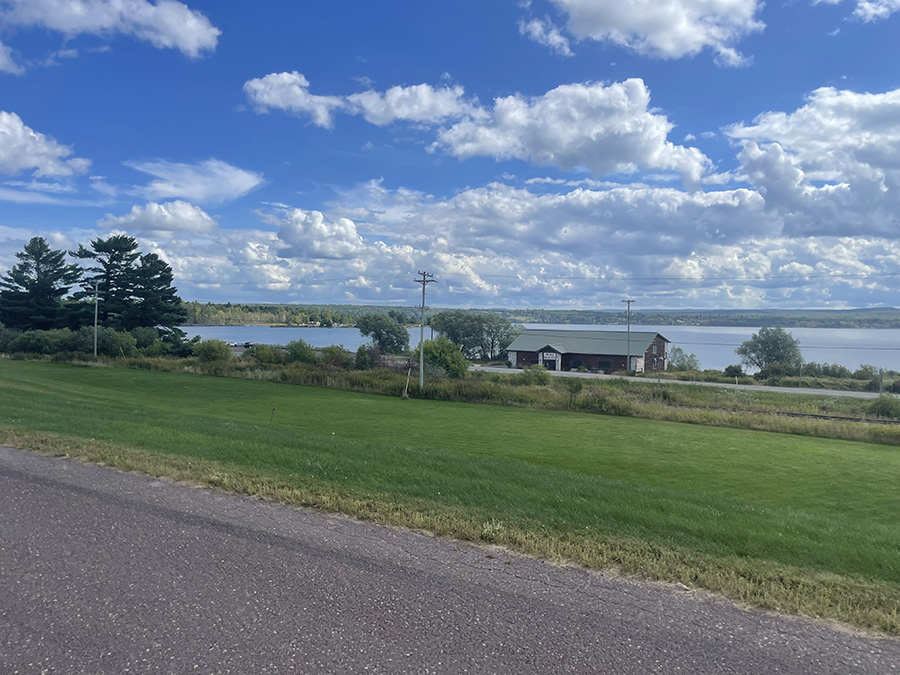
This is my first good look at Keweenaw Bay at the base of Baraga.

I’m getting to the northern part of Baraga. It has turned more residential, and I saw several families enjoying the day outside. My legs have warmed up from the drive and are starting to feel better.

The road that heads east toward the main road, US 41, will take me southwest to my car.

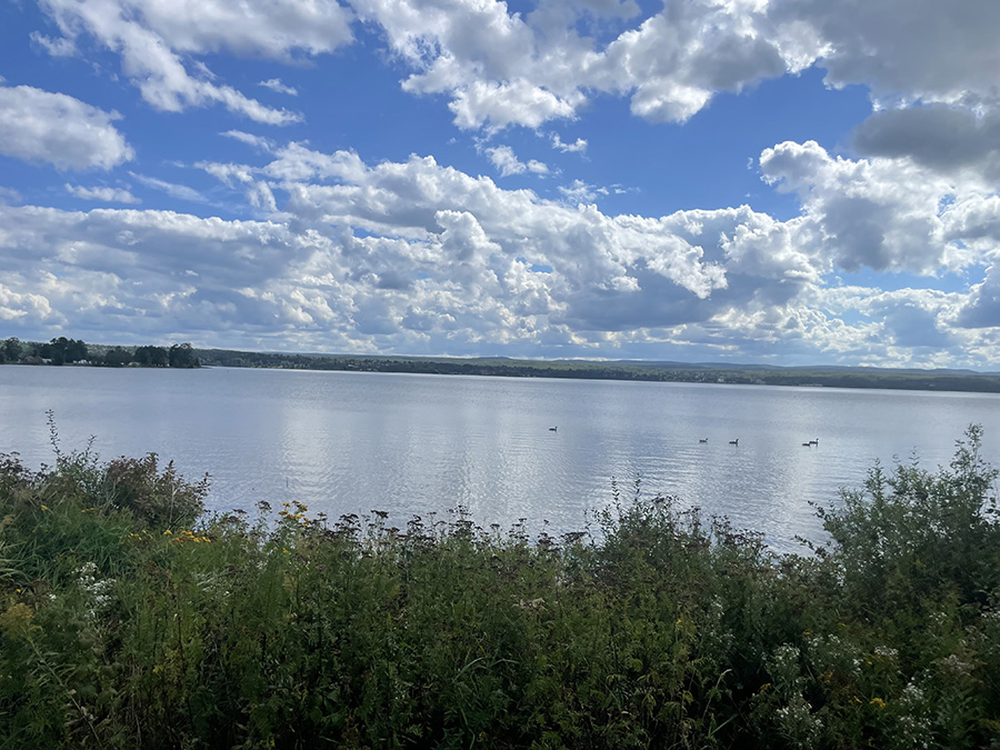
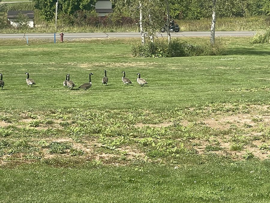
I was very close to the bay on a path for walkers. It was cool to see all kinds of geese in the bay!

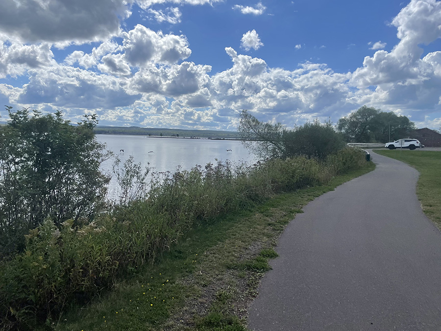
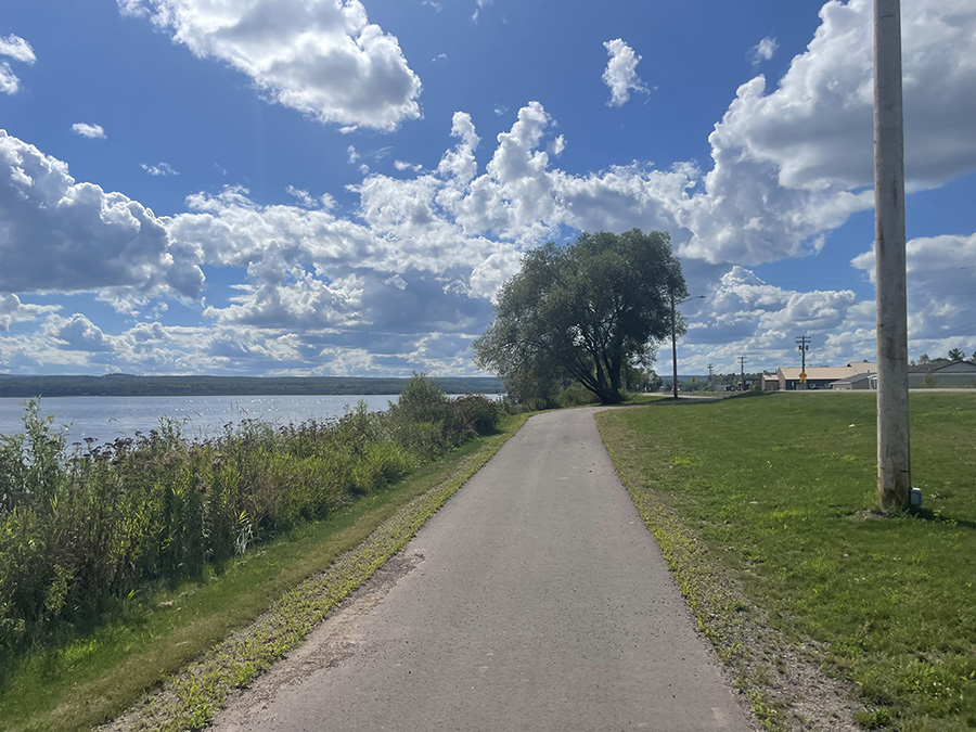
Here’s a better view of the path and how close it is to the bay. This is looking south as I run.

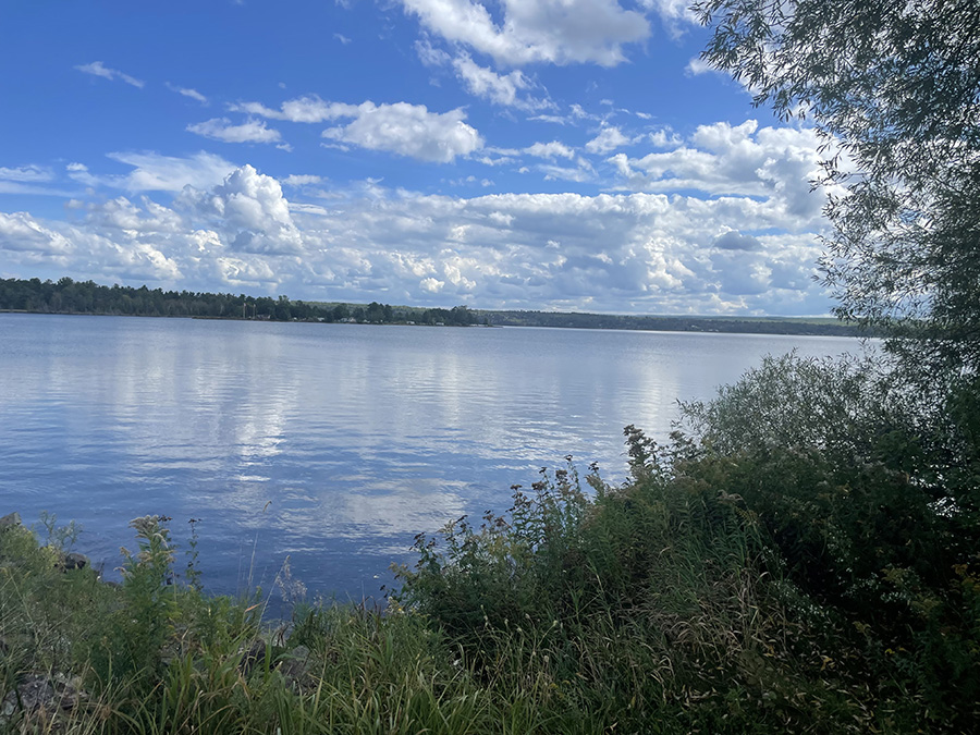
This bay reminds me of my home bays, East Bay and West Bay, in Traverse City, MI. What a great view and what a perfect day!

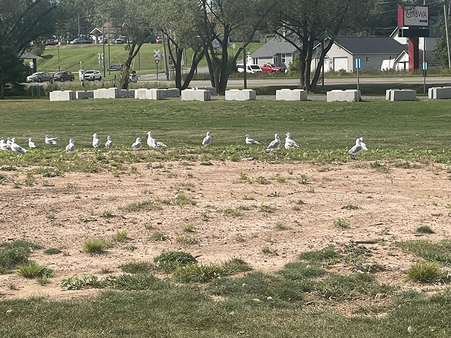
Did I mention that there were birds? A lot of birds!

I took this photo because of the blue building in the background. It says “Baraga” in large letters, but it’s difficult to see it here.

What a perfect path for runners, and such a beautiful location!

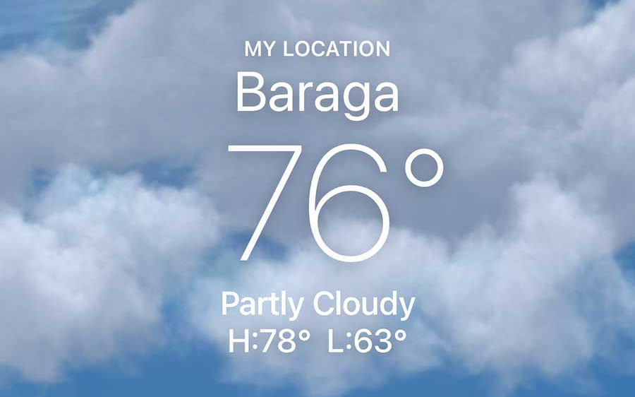
I told you it was HOT!

Almost done with the run! I had to switch to the west side of US 41. What a great run, and now I’m off to Marquette for another one.

Great Design Plan to run the county for this website

This was the plan I made Thursday night after doing more research about my planned run below.

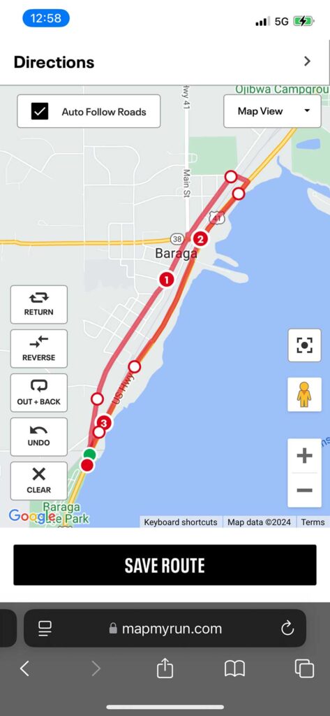
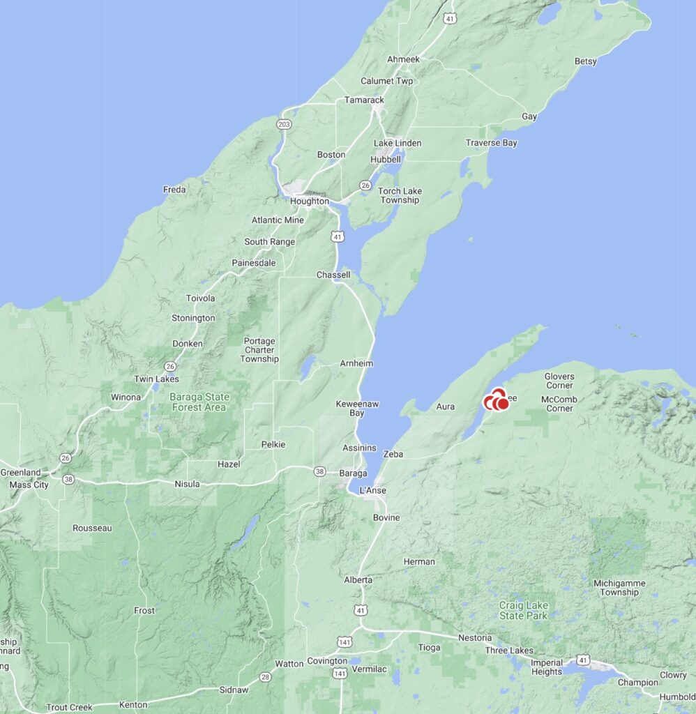
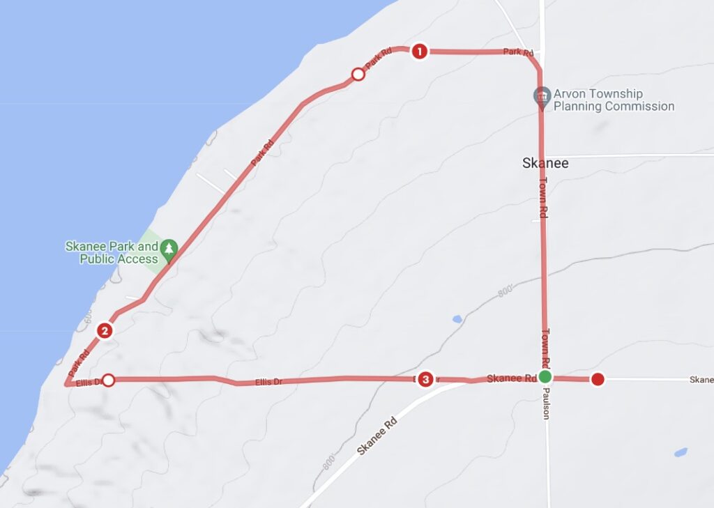
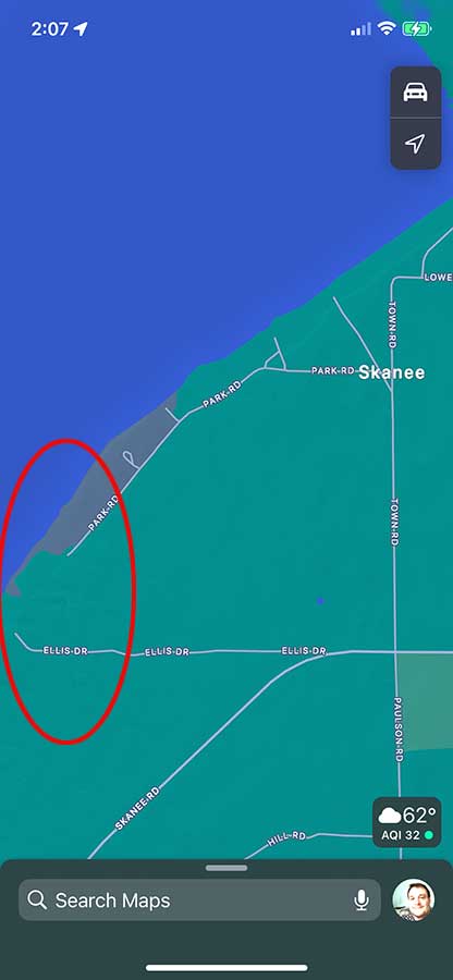
It was my plan to run this route in the location above. Still in Baraga County, but much closer to my location. I thought it would be a great run using MapMyRun, but once I opened Maps on my iPhone, it showed that there wasn’t a “loop” like MapMyRun indicated. I’ve been burned in the past by this and had to trespass, so I decided it wasn’t worth the drive up north to find out.

Map shown by map my run


Map shown on the Maps app on my iPhone. If you know whether those two roads connect, please let me know! Maybe I’ll run it on my return.

Baraga County

Aura
Alberta
Arvon
Baraga
Covington
Herman
L’Anse
Pequaming
Skanee
Spurr
Three Lakes
Watton
Zeba

Any place in Bold and Red are townships / towns / cities I’ve run a 5k for the county run (or the closest city to my county run)

Any place in Bold and Blue are townships / towns / cities I’ve run anytime in the past.

Any place in Bold and Green are townships / towns / cities I’ve done website / hosting / design work – best website builder for small business – WordPress design hosting and search engine optimization. I’m a small business website builder – contact me to get a website that works! If no Green color is on this page, please talk with me (Click Here). I’ll be encouraged to change one to Green!

Alger

Alger County

Alger County Run

County Complete

If you are a business in this Alger County (Munising, Christmas, Grand Marais, Chatham Area). I would like to work with a business from this county, as you will see below that I haven’t worked with anyone from this area in the past. So if you need graphic design, website work, advertising, promotional materials, please send me a note. I’ll offer a fantastic deal for the first two hours to the first business to try my services. I get results – money back guarantee! 

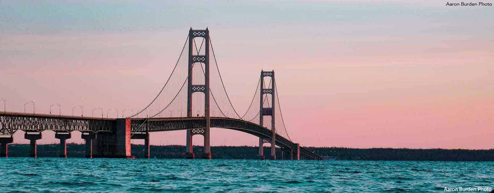
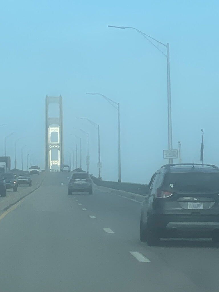
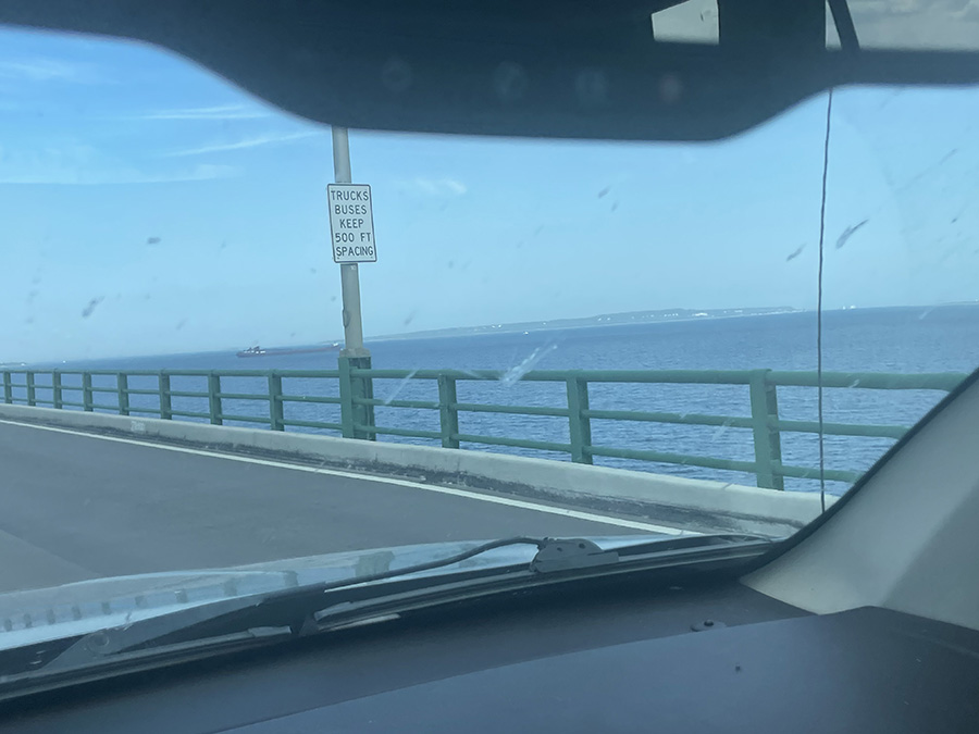
This was me crossing the Mighty Mac at 2:03 PM on Thursday. I was slightly worried about my vehicle because I had just had work done to fix a transmission fluid leak.

I saw a very large shipping boat under the bridge, and it was cool to see that sight.

You will see in my plans that I found a campground to stay at earlier in my journey, but when I arrived, it was marked as “closed.”

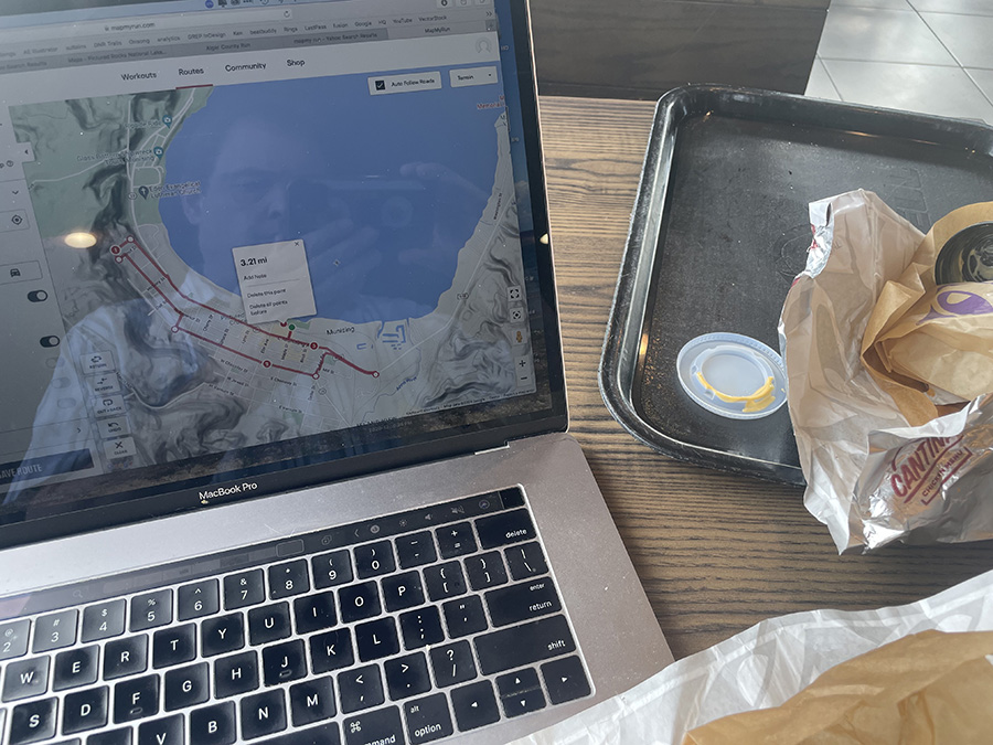
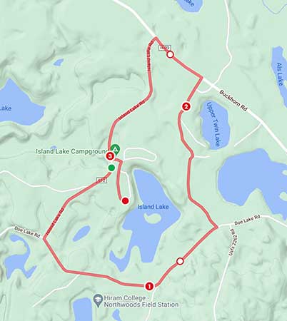
I decided to use the data I gathered at the Taco Bell in St. Ignace for my run because my iPhone was having difficulty getting a map signal. I wasn’t certain that I was on the same road or trail I had planned, but I was 85% sure, and I figured I’d know in about half a mile of running.
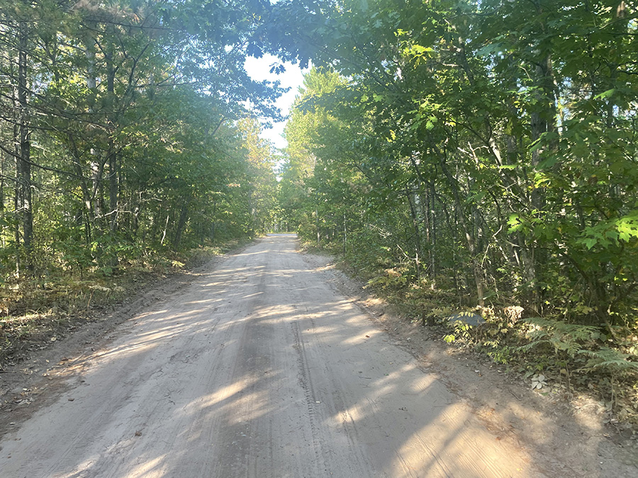
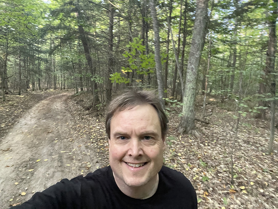
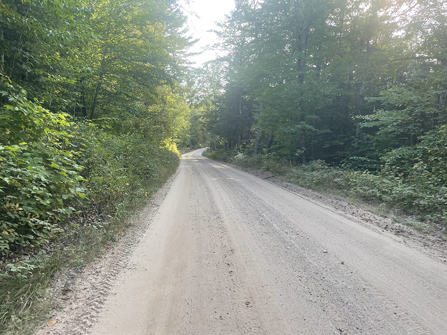
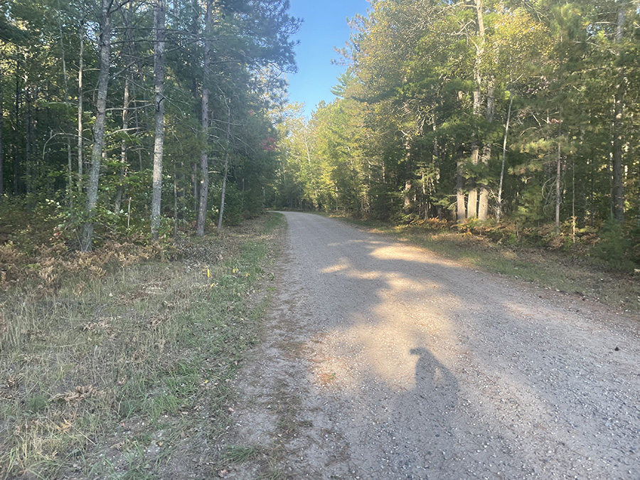
 Here is a photo of me on the first road of my run in Alger County. I’m pretty sure this was Twin Lakes Rd., and I was heading south toward Doe Lake Rd. and Island Lake Rd. When I reached Doe Lake Rd., I felt more confident that I was on the right path, but I wouldn’t know for sure until I hit Deer Lake Rd.—all of which are unmarked.

It was a great day, and I thought that if I found myself lost, even though my iPhone wasn’t showing a map, it was displaying a line. That meant I could do an out-and-back at mile 1.5 if I thought I was off track. This was going to be a great run.

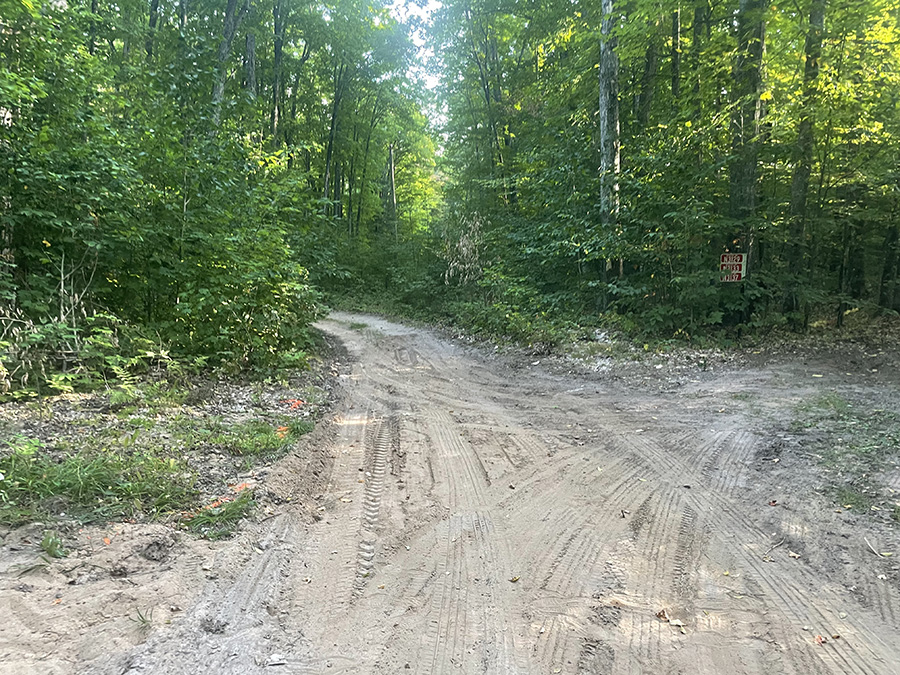
This was one of the first intersections I came to on the run. I don’t remember if it was a road or a residence, but I was still unsure at this point whether it would be an out-and-back or a loop run.

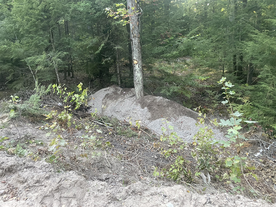
I saw a tree on the north end of Doe Rd. (I think) growing out of a mound of dirt. I thought it was super interesting and wondered how that mound was created. Was it man-made or natural?

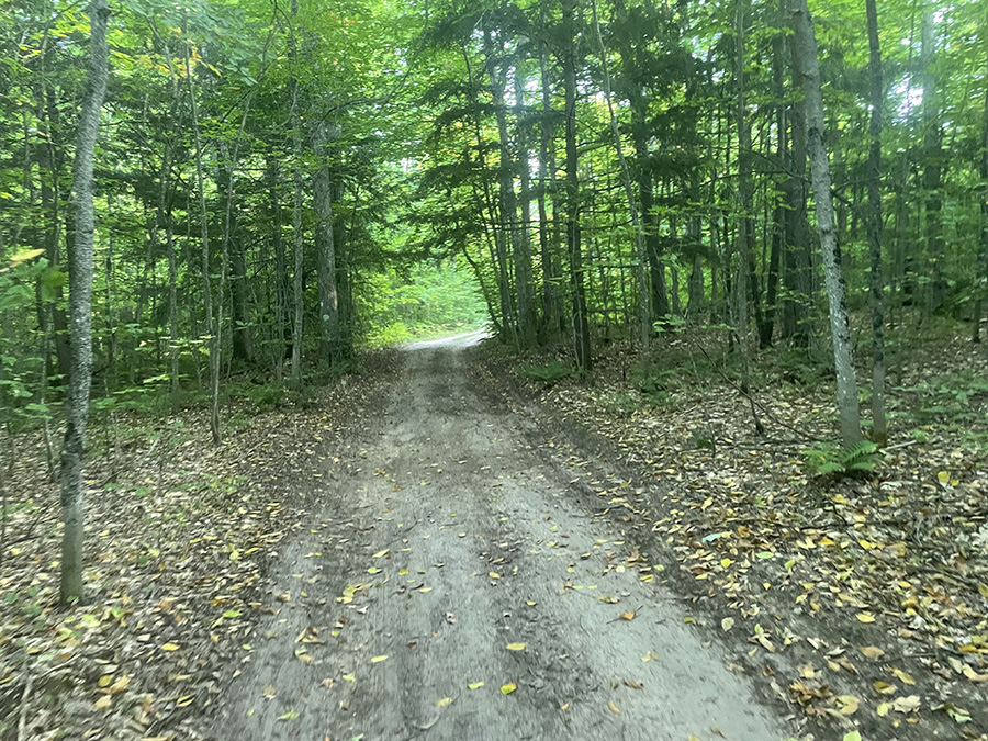
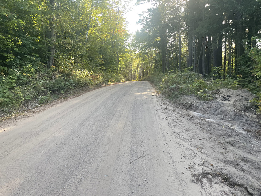
I continued on Doe Rd. heading west.

I got my first glimpse of Island Lake through the woods. I’m sure the campsite would have had a better view of this small lake. Come to think of it, I’m surprised at how many Michigan lakes I’ve run around—probably more than most runners.

A little farther down the road was a more open view of that same lake. I’m so disappointed that the campground was closed. I ended up staying at the Munising / Pictured Rocks KOA in Wetmore.

When I arrived at Deer Lake Rd., I was certain I was on the correct trail and was amazed by the field to the northeast. Huge and beautiful!

Same field, but looking toward the east!

It was a long run on Island Lake Rd., but I was sure I would see my car in the near future, and then I could go find a place to camp for the night. Such a cool area!

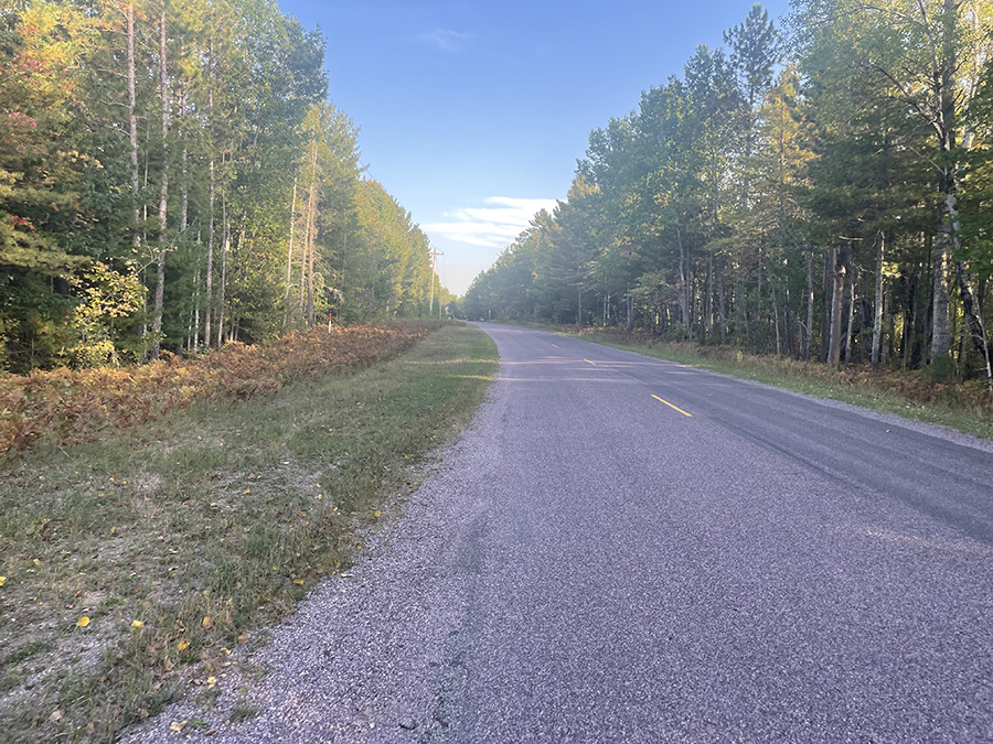
Finally back on pavement for a short run back to my car. This first run of three was a great start to a fantastic weekend.

Great Design Plan to run the county for this website

It’s late September, and I wanted to knock out three more U.P. counties (Alger, Marquette, and Baraga) in 2024, leaving one county to finish up in 2025 (Keweenaw). I left work at 1 PM and started heading north. This trip was originally planned for Memorial Weekend but was postponed because of car issues. I finally resolved those issues, and now I’m on my way.

When I crossed the Mackinac Bridge, I realized that I hadn’t even planned a single route to run, nor had I made any reservations for a hotel or camping. So, after I hit Highway 2, I stopped at the first Taco Bell to make some plans for both camping and my run.

I found a campground called Island Lake Campground, and I was super excited because there was a 5K run around a lake that the campground was situated on. Super cool!

Alger County

Au Train Burt Chatham Christmas Chatham Dixon Deerton Grand Island Grand Marais Juniper Kentucky Limestone Mathias Munising Onota Pictured Rock National Lakeshore Rock River Rumely Shingleton Traunik Trenary Vail

Any place in Bold and Red are townships / towns / cities I’ve run a 5k for the county run (or the closest city to my county run)

Any place in Bold and Blue are townships / towns / cities I’ve run anytime in the past.

Any place in Bold and Green are townships / towns / cities I’ve done website / hosting / design work – best website builder for small business – WordPress design hosting and search engine optimization. I’m a small business website builder – contact me to get a website that works! If no Green color is on this page, please talk with me (Click Here). I’ll be encouraged to change one to Green!

Iron

Iron County

Iron County Run

County Complete

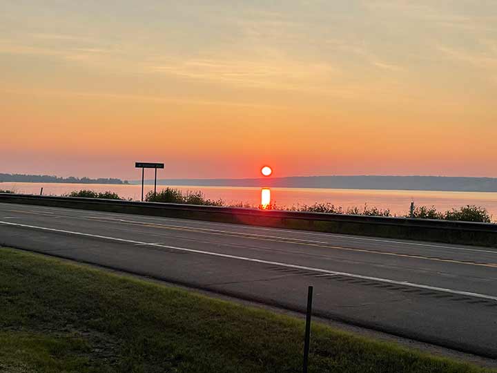
I woke up to this sunrise on Sunday after spending the last five days in the U.P. I completed runs in four other counties: Schoolcraft on Wednesday, Gogebic on Thursday, Ontonagon on Friday, and Houghton on Saturday. Just one more county to make this weekend complete – Iron County. I stayed at Baraga State Park for three of the four nights, but I didn’t run in that county. I’m planning to run there on my next trip up.

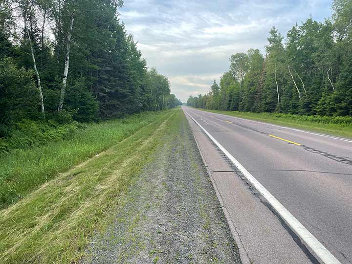
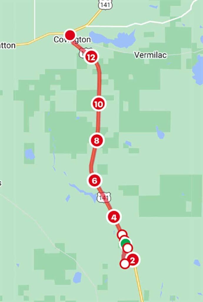
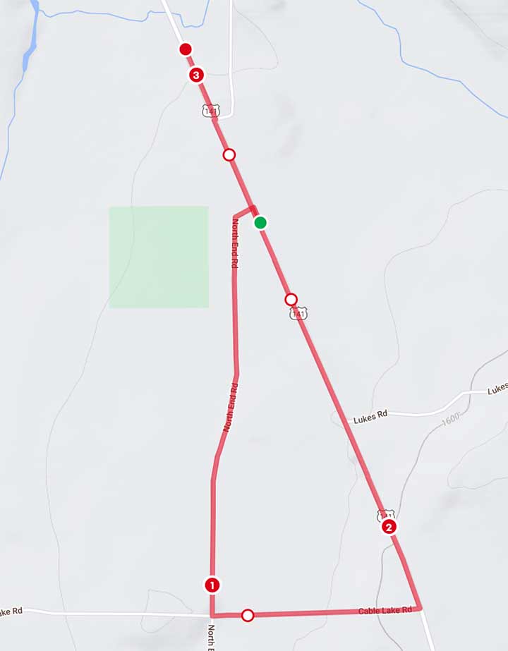
The plan was to drive 9 miles south of Covington, which would be the starting point of my Iron County run. It seemed that if I just did the loop, it would not be enough distance for the 5k. So, I stopped here at the 9-mile mark.

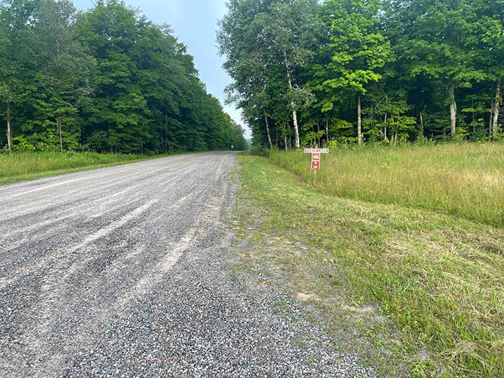
I turned right onto Cable Lake Road and headed west. At the time, I had no idea, but I now realize that I was supposed to start the run about a mile further north. I was so confused as to why my distances weren’t matching the plan in my head.

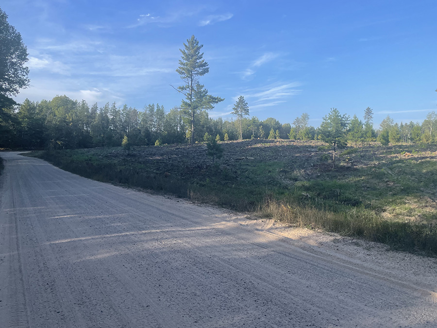
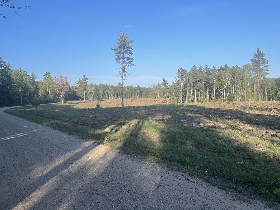
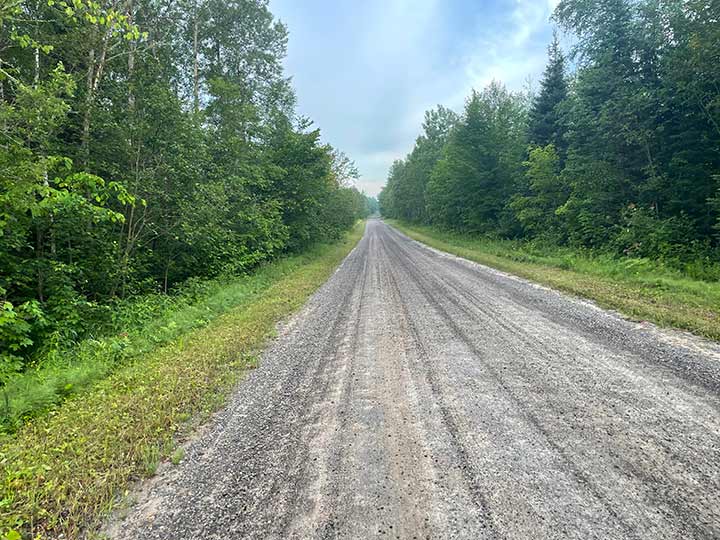
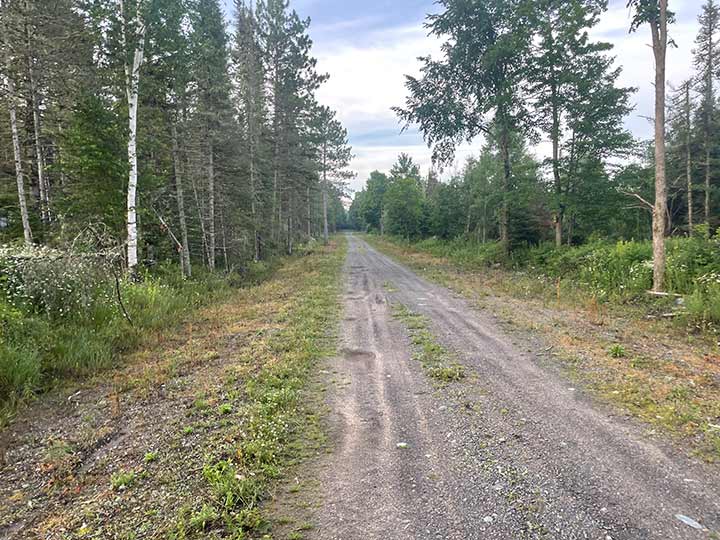
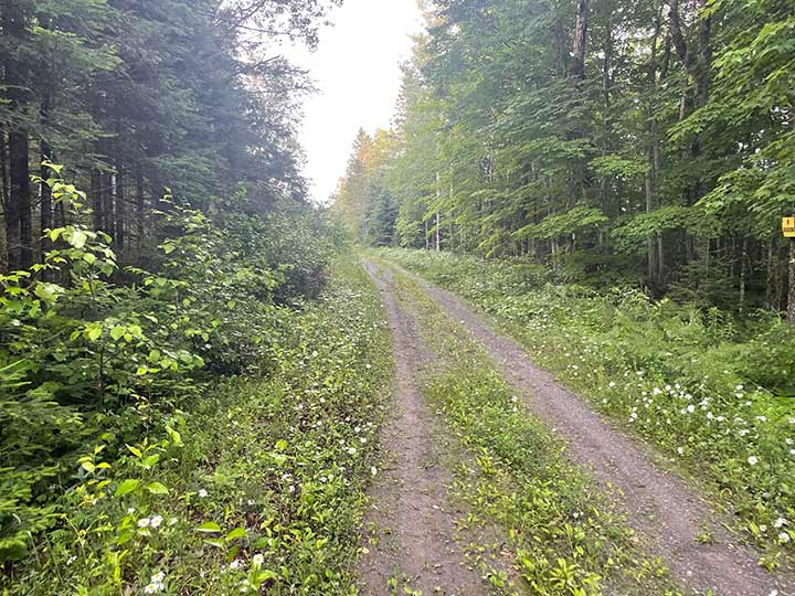
It was starting off to be such a perfect run. The path was smooth and flat, and the temperature was just right.
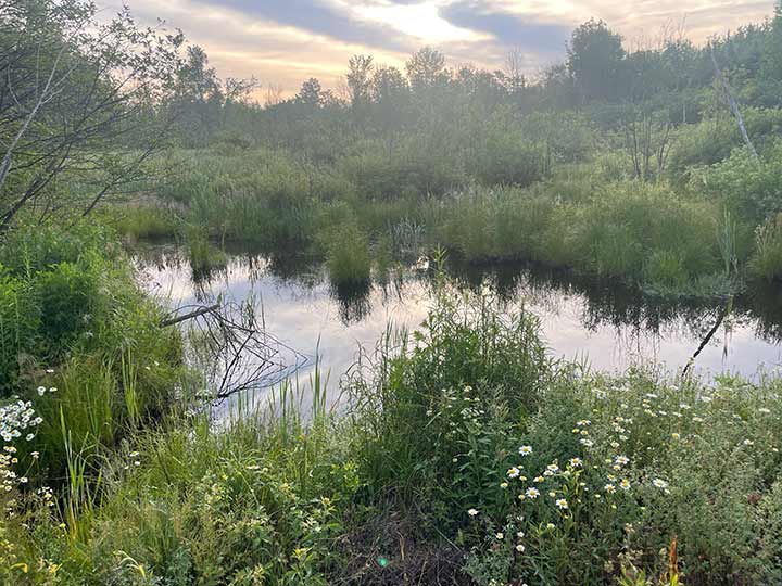
To the south of Cable Lake Road, there was some standing water. Such a cool spot!

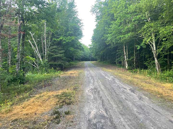
Turning south onto North End Rd. again it looks perfect and it’s going very well.


At this point, it looked like this run might be a little more than a 5k. The distances were just not lining up with what I had in my head, but everything was great, and so what if it turned out to be a slightly longer run?

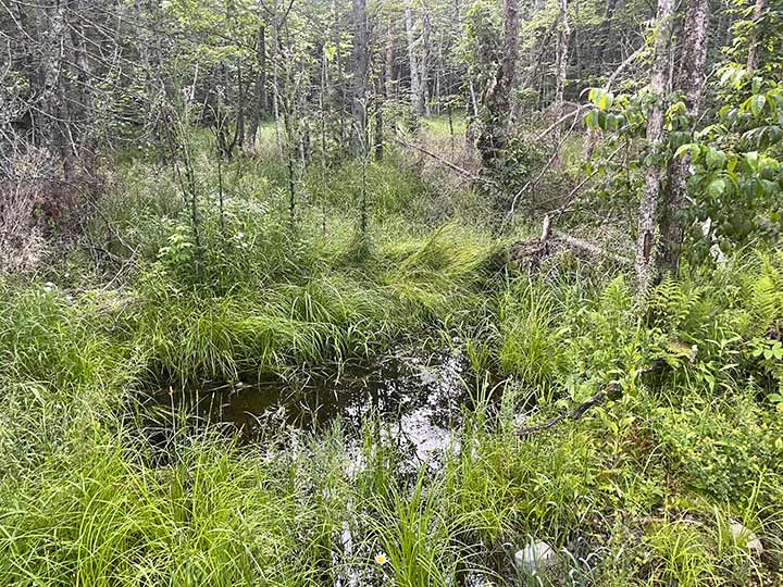
 Looking to the east, the forest appeared to have standing water, similar to the last road.

I continued on…

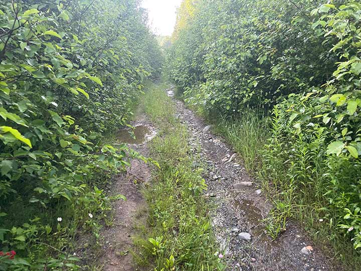
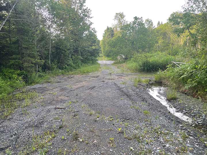
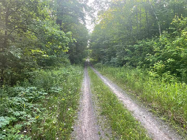
Then it was getting a little rougher to run. I had to duck under shrub overgrowth and started to think that this path didn’t get much traffic. There were some pretty big boulders on the ground, and I was thinking that this would not be a good place to turn an ankle.

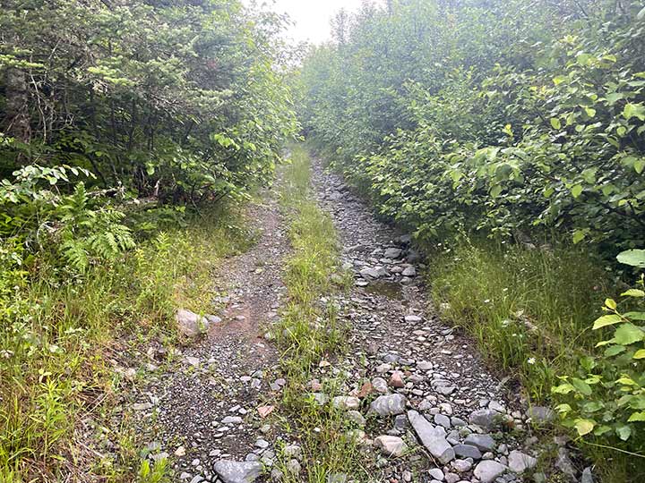
The rocks got worse from there. I ran and walked through about a quarter mile of trail that looked just like this. Also, the mosquitoes were attacking me, and there were hundreds of them—just like in Dickinson County, but worse. At this point, I was certain I would go over a 5k distance and considered turning around. I had already done 1.5 miles, and if I turned around, it would be a 5k when I reached the car. But I didn’t want to go back because of the mosquitoes and the rocks, and I just wanted to see the rest of the trail.

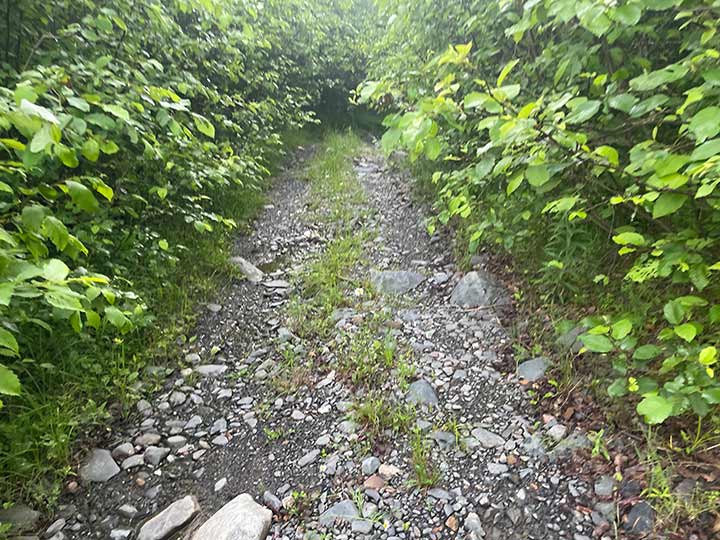
So I continued on… It’s got to open up at some point.

Sure enough it did finally open up. 

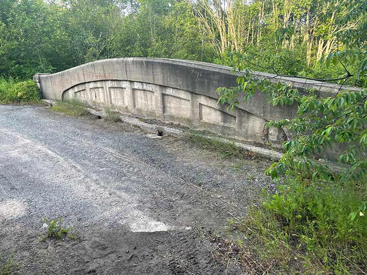
Found this old bridge  in what seemed to be the middle of no where.

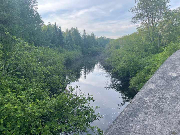
A beautiful river passed underneath.

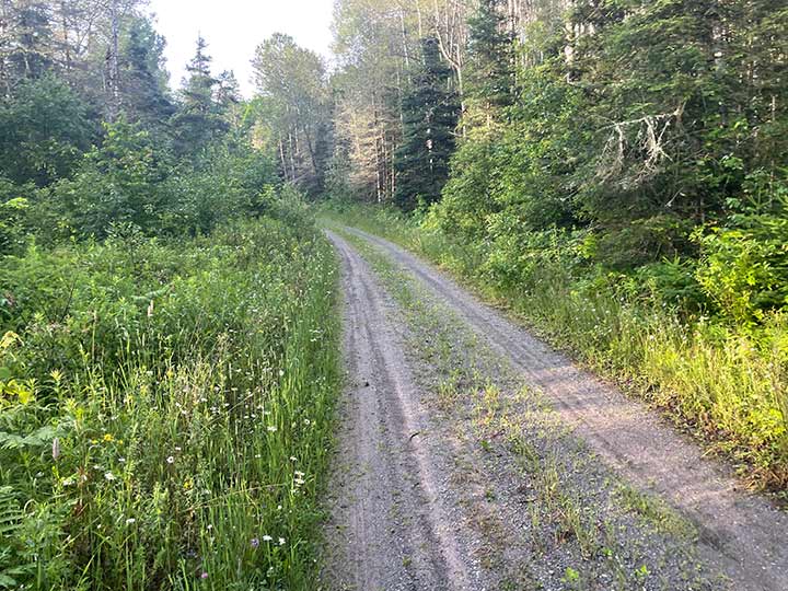
So I continued on.

And on…

… and on.


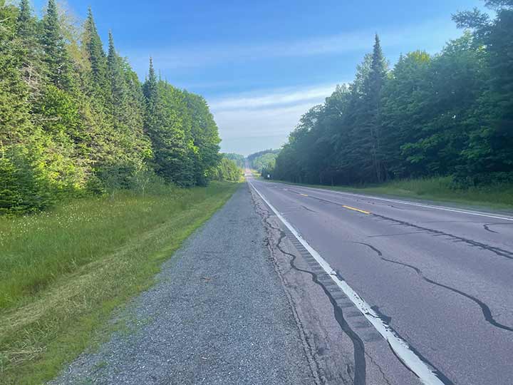
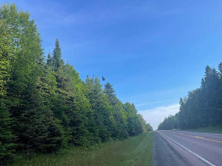
Finally, I made it back to 141, the main road where my car is parked. However, I had already completed my 5k, and I had been walking about a mile to reach this location

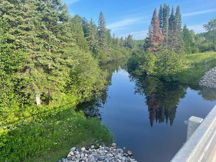
This is what the river looked like from the bridge on the main road. I had walked 1.5 miles at this point.

I walked by a deer carcass, and there were probably 5 or 6 vultures scavenging the deer.

All in all this was a 5k run and a 5k walk, 10k total for iron county.

Great Design Plan to run the county for this website

The plan is below. I plan to run this route first thing in the morning. It starts 9 miles after Covington on 141. Leaving the campsite at Baraga, (a county still yet to be done) but hitting this last county to the south of the U.P. then driving back down to where all the trolls live. Leaving at 6:00 am and I will reach my room by 2 pm. I will post this run by the evening of the 7th.

Iron County

Alpha
Amasa
Bates
Caspian
Crystal Falls
Gaastra
Hazel
Hematite
Iron River
Mansfield
Mastodon
Mineral Hills
Palatka
Stambaugh
Any place in Bold and Red are townships / towns / cities I’ve run a 5k for the county run (or the closest city to my county run)

Any place in Bold and Blue are townships / towns / cities I’ve run anytime in the past.

Any place in Bold and Green are townships / towns / cities I’ve done website / hosting / design work – best website builder for small business – WordPress design hosting and search engine optimization. I’m a small business website builder – contact me to get a website that works! If no Green color is on this page, please talk with me (Click Here). I’ll be encouraged to change one to Green!

Houghton

Houghton County

Houghton County Run

County Complete

I drove across the Portage Lake Lift Bridge. This was one image that I definitely wanted to include in my Houghton County run, especially since I’m running by MTU.

Running across the bridge so I could get a great look at the Houghton-Hancock waterway, known as the Keweenaw Waterway. It’s not a river but a channel of Lake Superior that cuts across the Keweenaw Peninsula.

The structure is immense and looks so powerful!

Also across the waterway is Mont Ripley Ski Area, where my nephew Cody used to ski a lot during his time at MTU.

Also across the waterway is Mont Ripley Ski Area, where my nephew Cody used to Snowboard a lot during his time at MTU.

There was a very nice pathway heading east towards Michigan Tech University.

Here, I was looking south into the downtown area of Houghton.

This must be where the Daily Mining Gazette is published.

Here’s another view looking west at the bridge.

This path was long and steady; I probably passed by 20 to 30 people on this trail, although it looks empty here.

Here I was about a mile into my run and needed to find a route back to the north. With the sun shining brightly and unable to see my phone, I had to huddle under a bush to make a plan.

This path was long and steady; I probably passed by 20 to 30 people on this trail, although it looks empty here.

Arrived at MTU. Cody, you should be proud! Cody also said that this archway is new. It wasn’t there when he attended.

Started heading back west and saw this house; it was too bright not to take a picture.

There was a great sidewalk heading back into town, which was nice as it allowed me to avoid the stress of all the traffic. What a busy little place!

I enjoyed seeing the statue of a fireman. My employer creates electronic products for the automotive industry, but they also manufacture hydraulic generators for firemen to use with the Jaws of Life. Additionally, my dad was a fireman, and my granddaughter’s other grandfather is a fireman as well. Thank you to all firefighters who serve or have served. It was very cool to see this statue.

Another rock formation that makes me miss climbing. I need to get back.

First glimpse back into town.

Looking to the east.

Looking towards the west.

Running through downtown. What a happening place!

Front side of the Daily Mining Gazette. I have a fondness for publishing companies because I worked for one for twenty-eight years.

A glimpse of the bridge from the west side, looking northeast.

A view of the Keweenaw Waterway looking west.

On the drive back to Baraga, I saw another part of Lake Superior. I’ve driven hours to get here, and this lake seems endless! What a magnificent lake.
Great Design Plan to run the county for this website

The plan for Houghton changed many times! Initially, I thought I’d run the closest 5k from where I was staying at the Baraga State Campground. However, upon reviewing the topographic map, HOLY COW! While I’m not afraid of hills, tackling them on the 4th day of back-to-back 5ks seemed daunting. I think I’ll look for something a little simpler.

Above is a larger map of the first two planned routes.

This was the second planned route, and it looks so much less intimidating.

I finally decided to run in the town of Houghton for two main reasons: My nephew graduated from Michigan Tech University, as did my employer and several people I’ve worked with in the past. What a prestigious school! Additionally, the bridge is recognizable anywhere, and I wanted to make sure I have a picture of the bridge and waterway in this county. It was also a way of thanking my nephew Cody for running Ingham County with me.

Houghton County

Adams
Calumet
Chassell
Copper City
Duncan
Elm River
Franklin
Hancock
Houghton
Laird
Lake Linden
Laurium
Osceola
Portage
Quincy
South Range
Stanton
Torch Lake

Any place in Bold and Red are townships / towns / cities I’ve run a 5k for the county run (or the closest city to my county run)

Any place in Bold and Blue are townships / towns / cities I’ve run anytime in the past.

Any place in Bold and Green are townships / towns / cities I’ve done website / hosting / design work – best website builder for small business – WordPress design hosting and search engine optimization. I’m a small business website builder – contact me to get a website that works! If no Green color is on this page, please talk with me (Click Here). I’ll be encouraged to change one to Green!

Contact

If you have some ideas about a county please share them on that counties comments section. I would like others to see what makes the county great.  If you would like to contact me privately you can do so here:                                   thanks. m